Gonarezhou National Park, National park in Masvingo Province, Zimbabwe.
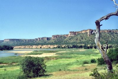
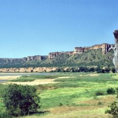
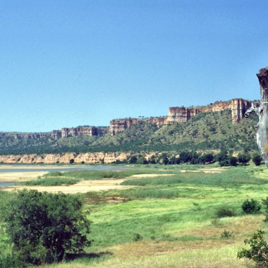
Gonarezhou National Park covers 5,053 km² in Masvingo Province, making it Zimbabwe's second-largest national park. Its best-known landmark is the Chilojo Cliffs, sandstone walls about 180 m high running some 20 km along the south bank of the Runde River. The park spans mopane woodland in the northeast and bushveld in the southwest.
The area was first protected as a game reserve in 1936 and became a national park in 1975. It was closed during the Rhodesian War and much of the Mozambique civil war, reopening in 1994. In 2017, management passed to the Gonarezhou Conservation Trust, a partnership between the Zimbabwe Parks and Wildlife Management Authority and the Frankfurt Zoological Society.
The name Gonarezhou comes from Shona and means "The Place of Elephants". In 1999, during Robert Mugabe's land reform, up to a third of the park was occupied by the neighbouring Chitsa people, whose settlements and farming altered that land; the government has since tried to resettle them.
Two entrances serve the park. The northern one is reached from Chiredzi: a gravel track branches off 18 km beyond the town, with 34 km of track to the gate. The southern route leaves the Masvingo–Beitbridge road about 20 km south of Rutenga, then runs 105 km to the park. Most tracks need a 4x4, and there are no shops inside.
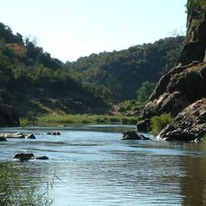
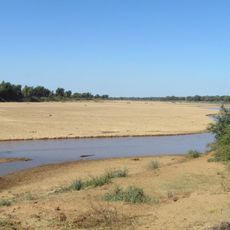
The Runde joins the Save just before the Mozambique border, and this junction is Zimbabwe's lowest point at 162 m above sea level. The park's northern pans, Tembwahata and Machanu, form where the two rivers meet. Two rock-art sites in the north show paintings of white rhinoceros, estimated at only 500 to 700 years old.
The community of curious travelers
AroundUs brings together thousands of curated places, local tips, and hidden gems, enriched daily by 93,196 contributors worldwide.