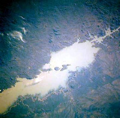
Cahora Bassa Reservoir, Artificial lake in Tete Province, Mozambique.
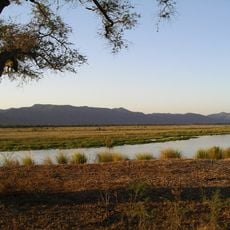
The Cahora Bassa Reservoir stretches 292 kilometers along the Zambezi River and covers an area of 2,739 square kilometers with an average depth of 21 meters. The impounded water sits in a broad valley between rocky hills and forms many inlets and smaller arms.
Portugal began building the dam in 1969 and completed the reservoir in 1974, shortly before the end of colonial rule. The flooding fundamentally changed the landscape and made large areas along the river inaccessible.
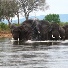
The name comes from the nearby place Kebrabasa, where rapids once blocked passage through the river. Fishers have adapted their methods since the flooding and now harvest small schooling fish brought from other large lakes.
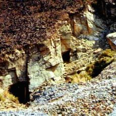
Visitors should prepare for rough terrain and limited access to many parts of the shoreline. Boats often provide the best way to move across the water and reach remote inlets.
Five generators at the dam produce 2,075 megawatts of electricity, transmitted through a 1,400-kilometer power line to South Africa. This facility ranks as the largest hydroelectric plant in southern Africa.
The community of curious travelers
AroundUs brings together thousands of curated places, local tips, and hidden gems, enriched daily by 60,000 contributors worldwide.