Mana Pools, National park and UNESCO World Heritage Site in Mashonaland West, Zimbabwe
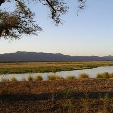
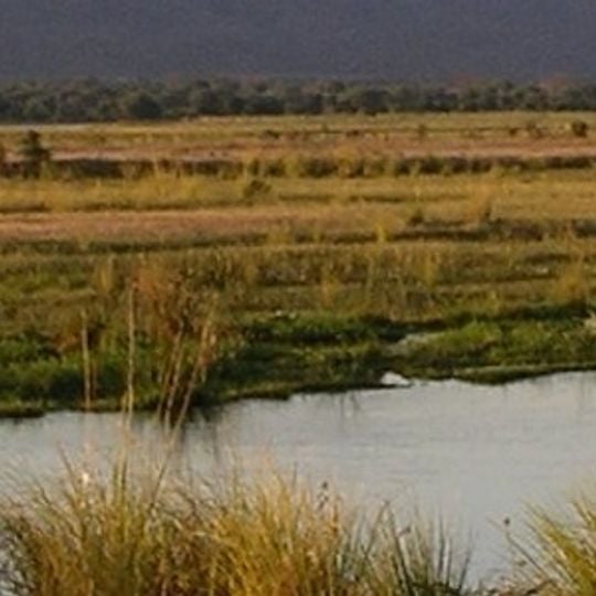
Mana Pools is a 2,196-square-kilometre national park on the lower Zambezi in northern Zimbabwe, where the floodplain becomes a broad expanse of lakes after each rainy season. The river, its islands, sandbanks and four permanent pools are flanked by forests of mahogany, wild fig, ebony and baobab, with steep cliffs bounding the valley.
The area was proposed for a dam at the Mupata Gorge in the 1980s, which would have flooded much of the floodplain; the national park designation in 1975 is said to have helped block the scheme. In 1984 it was inscribed as a UNESCO World Heritage Site together with the Sapi and Chewore safari areas, forming a 6,766 km² site. The Kariba Dam, built upstream in the 1950s, altered the timing and extent of the annual floods.
The name Mana comes from the Shona word for "four", referring to the four large permanent pools of the Zambezi. In the floodplain stand scattered villages of the Muzarabani, whose people grow millet in a marginal agriculture.
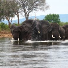
Animals gather around permanent water holes during the dry season, making wildlife viewing easier and more predictable for visitors. The cooler months offer better conditions for walking and observing than the warm season.
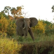
The four permanent pools that give the park its name are oxbow remnants of the middle Zambezi, and Shona speakers count them in the name Mana. When UNESCO inscribed the site in 1984 it held about 500 eastern black rhinos; by 1994 poaching had cut this to 10, which were moved elsewhere. In 2012 the park counted 4,285 elephants.
The community of curious travelers
AroundUs brings together thousands of curated places, local tips, and hidden gems, enriched daily by 93,072 contributors worldwide.