Quirimbas National Park, National park in northern Mozambique
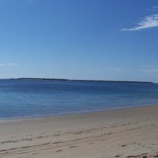
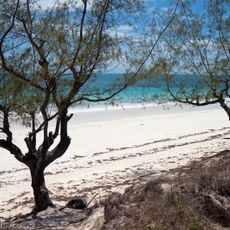
Quirimbas National Park covers 7,500 km² in Cabo Delgado, about 80% mainland and 20% island and marine habitats. It runs roughly 100 km from the Tari River mouth past Ponta do Diabo to Mucojo, and includes the southern Quirimbas islands and the São Lázaro Bank, 42 nautical miles east of Ibo. The Taratibua mainland area contains inselbergs.
Quirimbas National Park was created in June 2002 with support from the WWF, which managed it under an agreement with the Mozambican government until 2010 and gave technical assistance until 2016. At the time of its creation about 136,000 people lived in 154 villages inside the park and its buffer zone. The civil war had kept the region isolated for decades before protection began.
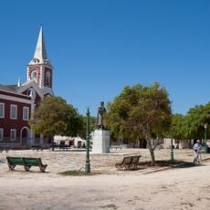
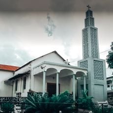
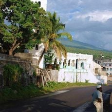
Local communities on the islands maintain customs shaped by Swahili traders, Arab influences, and Portuguese contact, visible in their daily crafts and their relationship with the surrounding waters and forests.
The park lies in Cabo Delgado province, stretching about 110 km along the coast from the mouth of the Tari River past Ponta do Diabo to the village of Mucojo in Macomia district. The rainy season runs from December to April, followed by a drier, cooler season from May to September. Daytime temperatures range from roughly 25 °C to 35 °C, and water temperatures from 24 °C to 27 °C. Lodgings range from basic beach-front cottages to luxurious villas.
The park's mainland sector, Taratibua, holds inselbergs, rocky outcrops rising from the surrounding plain. The WWF ran the park under an agreement with the Mozambican government from 2002 to 2010 and kept giving technical help until 2016. A 2010 WWF review noted gains in species numbers, size and diversity, but also a lack of money and ranger incentives.
The community of curious travelers
AroundUs brings together thousands of curated places, local tips, and hidden gems, enriched daily by 93,667 contributors worldwide.