Mnazi Bay-Ruvuma Estuary Marine Park, Marine park in Mtwara district, Tanzania.
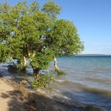
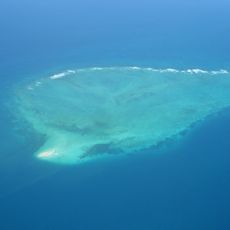
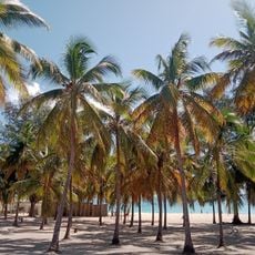
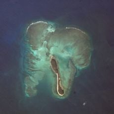
The Mnazi Bay-Ruvuma Estuary Marine Park covers 650 square kilometres in Mtwara district, from the northern Ruvuma Estuary to Mnazi Bay and the Ras Msangamkuu headland, reaching the Mozambique border. About a third is land: mangroves, rocky and sandy shoreline, mudflats, salt pans, fringing and lagoonal patch reefs, seagrass beds, and the islands of Namponda, Mongo and Kisiwa Kidogo.
The marine protected area received official status in 2000 to safeguard the region's coastal ecosystems. This designation created a framework designed to protect both the natural environment and the traditional livelihoods of local people.
Local fishing communities have worked these waters for generations, and their boats are a daily sight along the shores. The way they cast their nets and venture out each day shapes the rhythm of life in the villages around the bay.
The park lies in Mtwara district and runs to the Mozambique border, reached from Mtwara town; the Ruvuma estuary marks its northern limit and Ras Msangamkuu its headland. About a third of the 650 square kilometres is land, including the islands of Namponda, Mongo and Kisiwa Kidogo. Access to reefs and villages is by boat, so arrange crossings locally and check conditions before setting out.
Beneath the park's waters lie natural gas reserves that have been known for decades and now generate power for the region. This combination of conservation and energy production reveals the complex demands placed on the coastal area.
The community of curious travelers
AroundUs brings together thousands of curated places, local tips, and hidden gems, enriched daily by 94,552 contributors worldwide.