Mount Namuli, Granite mountain peak in Zambezia Province, Mozambique
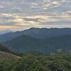
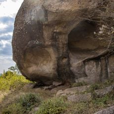
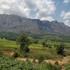
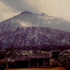
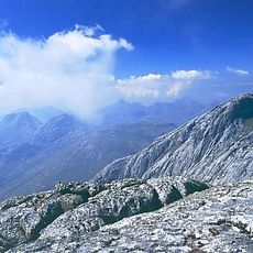
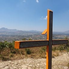
Mount Namuli is a granite massif in Zambezia Province in northern Mozambique, rising to about 2,419 meters (7,936 feet) above sea level and ranking as the country's second highest peak. A large granite dome sits at the top of a plateau that still holds patches of forest and wetlands.
British consul Henry Edward O'Neill carried out the first known survey of the peak in 1886, recording its geographic features in official documents. That early documentation brought the mountain into international maps and scientific records for the first time.
Gurué, 12 km south-west of the massif, is Mozambique's largest tea estate, and tea plantations cover Namuli's lower slopes. Higher up, farming gives way to indigenous forest kept to stream corridors. The Namuli apalis and Vincent's bush squirrel, both found only here, were described after the Lynes and Vincent expedition of 1931-1932.
Visiting this peak should be done with experienced local guides who know the safest routes through the difficult terrain. The dry season is the best time to go, as paths are easier to walk and conditions are more reliable.
The Namuli apalis (Apalis lynesi) and Vincent's bush squirrel (Paraxerus vincenti) live nowhere else on Earth, both named after the 1931/1932 expedition of Hubert Lynes and Jack Vincent. Poor roads and the civil war kept ornithologists away until a South African team reached the forests in 1998. In 2024 scientists proposed grouping Namuli with other regional inselbergs in a South East Africa Montane Archipelago ecoregion.
The community of curious travelers
AroundUs brings together thousands of curated places, local tips, and hidden gems, enriched daily by 93,176 contributors worldwide.