Lake Malawi National Park, National park at Cape Maclear, Malawi
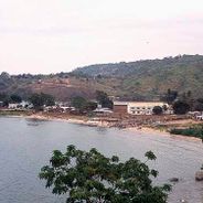
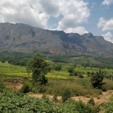
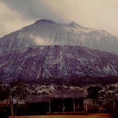
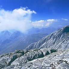
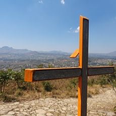
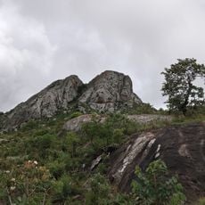
Lake Malawi National Park covers about 95 km² at the southern end of Lake Malawi, including most of the Nankumbu Peninsula, which ends at Cape Maclear, plus the Mwenya and Nkhudzi hills, Nkhudzi Spit and 13 islands. The peninsula rises steeply from the shore to Nkhunguni Peak at 1,143 m and Dzimwe Peak at 963 m, its slopes covered in dense forest. Fishing villages such as Chembe sit on the flatter foreshore inside the park boundaries.
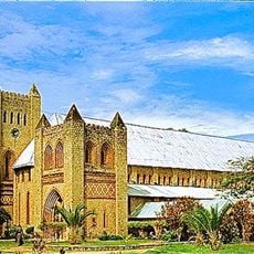
David Livingstone discovered the lake in 1859, and this exploration brought European attention to the area. A Scottish Presbyterian mission was established at Cape Maclear in 1875, marking the beginning of sustained foreign presence here.
Local fishermen work the shore with traditional boats and nets that you can watch daily. Their way of life reflects how communities here have connected with the lake for generations.
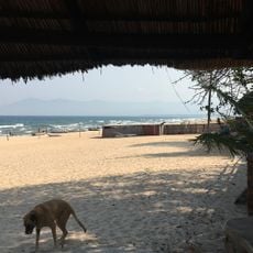
The aquatic zone of the park reaches only 100 m from the shoreline, so most snorkelling and diving sites lie close to the beaches of the Nankumbu Peninsula and around the 13 islands. Gill nets and seine nets are banned in the park, but fishing from small boats is still allowed. Chembe, the largest fishing village, sits on the foreshore near Cape Maclear and is the main base for boat trips.
The park's aquatic zone extends only 100 metres from the shoreline, covering just 0.02% of Lake Malawi's total area, yet it shelters over 350 cichlid species, almost all endemic. Some species are confined to a single bay, rocky islet or a few hundred metres of shore, and many remain undescribed by science.
The community of curious travelers
AroundUs brings together thousands of curated places, local tips, and hidden gems, enriched daily by 93,163 contributors worldwide.