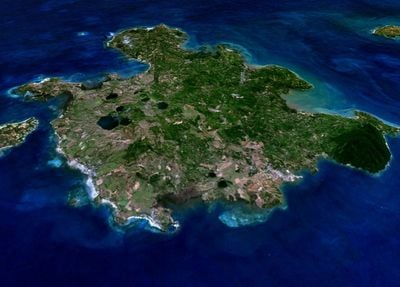
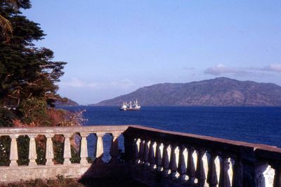
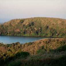
Nosy Be, Volcanic island in Diana Region, Madagascar.
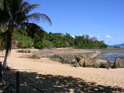
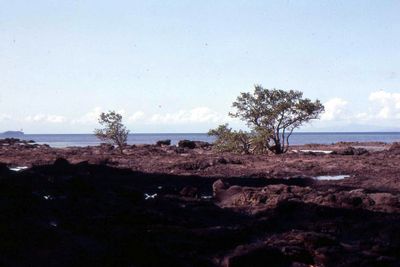
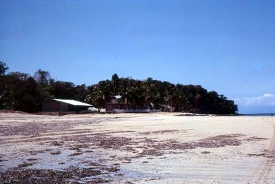
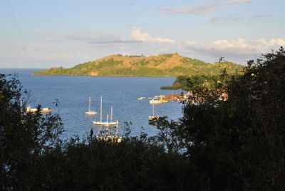
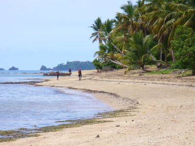
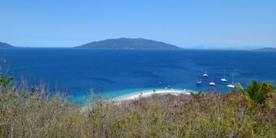
Nosy Be is a volcanic island in Madagascar with expansive landscapes that feature crater lakes, dense forests, and beaches fringing the Mozambique Channel. The island's volcanic formations shape its terrain and create varied environments throughout the region.
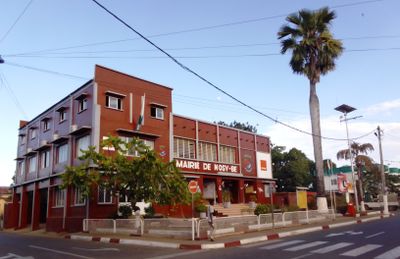
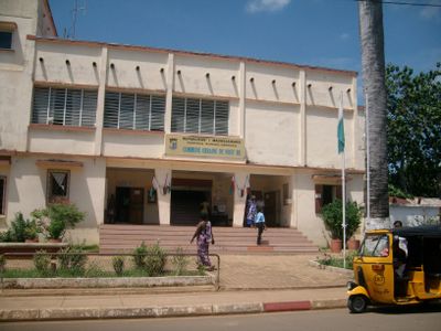
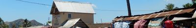
French colonization began in 1840 when Captain Passot established an outpost named after Admiral de Hell. This early settlement set the foundation for the island's development under European influence.
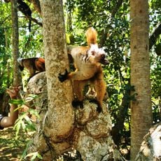
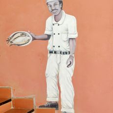
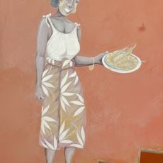
The Sakalava shape daily life on this island through their customs and traditions. Antankarana, Comorian, and Indian communities also call this place home, creating a blend of different ways of living together.
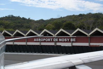
An airport on the island connects to major cities for convenient access. Local boats regularly depart for day trips to smaller nearby islands.
This island is a major producer of vanilla, ylang-ylang, sugar cane, and bitter oranges used for perfumes and essential oils. This agricultural focus makes it a center for fragrance industry raw materials.
The community of curious travelers
AroundUs brings together thousands of curated places, local tips, and hidden gems, enriched daily by 60,000 contributors worldwide.