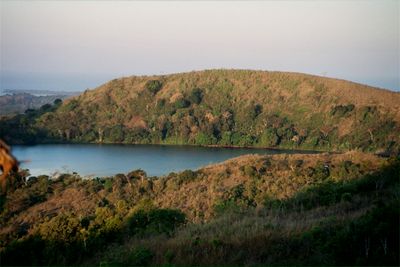
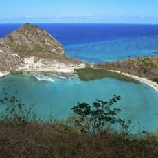
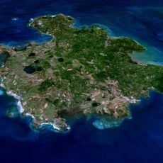
Mont Passot, Volcanic summit in Nosy Be, Madagascar.
Description
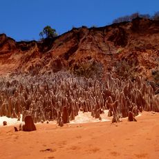
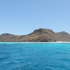
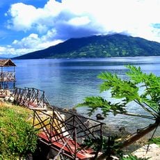
Mont Passot is a volcanic summit in Nosy Be rising to about 329 meters (1,080 feet), making it one of the highest points on the island. The trail leads to an observation area where visitors can see nine lakes spread across the surrounding landscape.
History
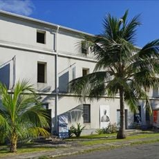
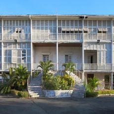
The peak was named after Pierre Passot, a French naval officer who brought Nosy Be under French control in 1841. This name reflects the colonial period that shaped the island's early modern history.
Culture
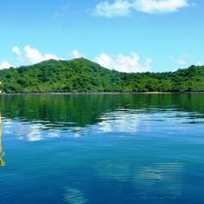
The summit overlooks several natural lakes that hold meaning for local communities living on the island. Visitors come here to experience the landscape and connect with the waters that shape daily life in the region.
Practical
The summit can be reached by a marked trail that is walkable for most visitors and leads directly to the top. It is best to start early or in late afternoon to avoid the strongest heat, and bring water with you.
Did you know?
From this vantage point, nine lakes are visible across the landscape, and local traditions connect these waters to spiritual significance. This blend of geography and cultural meaning creates a memorable experience for many who visit.
AroundUs brings together thousands of curated places, local tips, and hidden gems, enriched daily by 60,000 contributors worldwide. Discover all places nearby (Madagascar).
Maromokotro
111.7 km
Marojejy National Park
201 km
Rainforests of the Atsinanana
203.5 km
Amber Mountain National Park
129 km
Red Tsingy
157.2 km
Lokobe Reserve
13 kmMayotte Marine Natural Park
308.8 km
Tsaratanana Reserve
98 kmMarine natural park of Glorioso Islands
218.8 km
Musée de Mayotte
327.9 km
Réserve naturelle nationale de l'archipel des Glorieuses
218.7 km
Résidence du gouverneur
328 km
Plage de Moya
323.7 km
Нусі-Бе (вулкан)
27.6 km
St. Michael's Church, Dzaoudzi
328.1 km
Cascade d'Antomboka
129.4 kmRéserve naturelle nationale de l'îlot Mbouzi
329.8 km
Humbert Falls
204.6 km
Fanambana Bridge
192 km
Antaninaomby
21.9 km
Barracks of Petite Terre (Dzaoudzi, Mayotte)
328 km
Ramena Beach
169.8 km
Tanikely Lighthouse
17.9 km
Cap Miné Lighthouse
173 km
Hamouro Beach
330.3 km
Moudou Beach
330.4 km
Anjohibe Cave
286.5 km
LemuriaLand
9.8 kmDiscover hidden gems everywhere you go!
From secret cafés to breathtaking viewpoints, skip the crowded tourist spots and find places that match your style. Our app makes it easy with voice search, smart filtering, route optimization, and insider tips from travelers worldwide. Download now for the complete mobile experience.
A unique approach to discovering new places❞
— Le Figaro
All the places worth exploring❞
— France Info
A tailor-made excursion in just a few clicks❞
— 20 Minutes