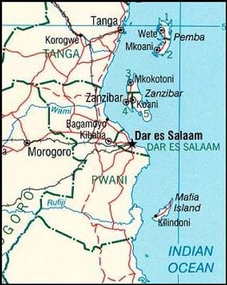
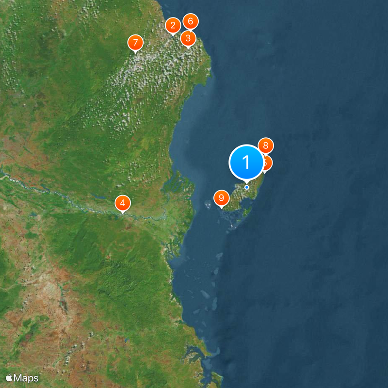
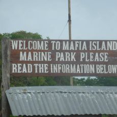
Mafia Island, Marine conservation island in Pwani Region, Tanzania
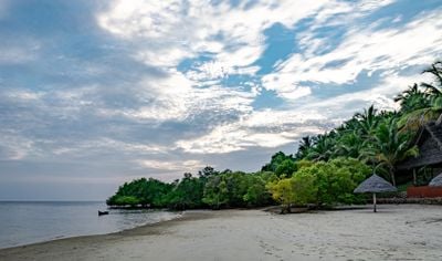
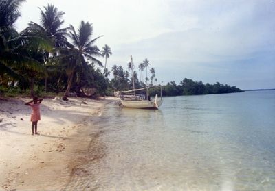
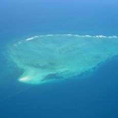
Mafia Island is an island in Pwani Region featuring mangrove swamps, coastal forests, scrubland, and grassland across its landscape. The terrain rises to a maximum of 53 meters above sea level and spans approximately 435 square kilometers.
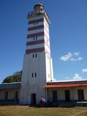
The island served as a trading hub between East Asia and East Africa from the 8th century onward. German rule was established in 1890.
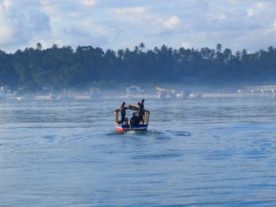
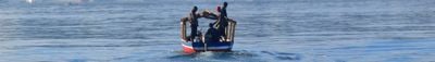
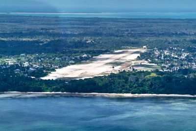
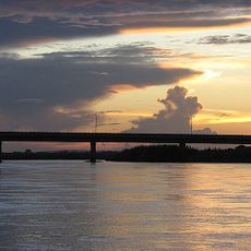
The people here have practiced fishing and farming for generations, shaping daily life across the island. Kilindoni, the market town on the western shore, serves as the heart of these communities and shows how residents connect with both sea and land.
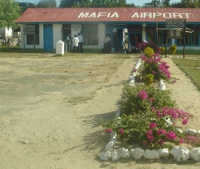
The island is served by regular flights from Dar es Salaam, with the best diving conditions occurring in Chole Bay from October through February. Plan your visit during these months if you want to explore the underwater world.
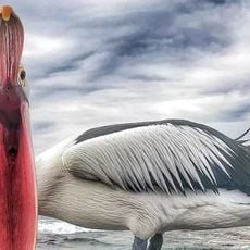
The waters around the island host whale sharks from September through March, drawing visitors from around the world. These massive creatures pass through during their annual migration, creating memorable moments for observers.
The community of curious travelers
AroundUs brings together thousands of curated places, local tips, and hidden gems, enriched daily by 60,000 contributors worldwide.