Enable Location

We need your location to show you interesting places around you

Discover nearby places

Find interesting locations and hidden gems around you

Precise directions

Get accurate directions and distances to places

Your location is never shared with other users. It's only used when you tap the location button.

Log in to your account

Start exploring — it's free

Trusted by 61,675 travelers worldwide

Continue with Google
Continue with Apple
or

We will send you a code to connect

By continuing, you accept our Terms and Conditions and our Privacy Policy

Check your inbox

We've sent a pincode in your inbox. Please enter the code below.

Le Camp de César

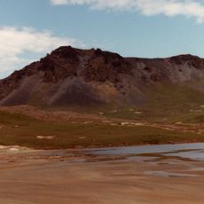
Le Camp de César, Mountain summit at 1000 meters elevation, France.

Description

Le Camp de César is a highland plateau situated at about 1000 meters elevation that commands views over multiple valleys from its position between the Cèze and Tave rivers. The terrain reveals traces of different settlement phases spread across grassland and rocky outcrops.

History

This site saw continuous occupation for over a thousand years and served as an important control point for trade routes toward the Mediterranean region. Romans valued its strategic position and used it to secure their commercial networks.

Culture

The Saint-Jean de Todon chapel visible on the site marks where people lived through the early medieval period, showing how religious buildings took root in this remote location. You can sense how faith shaped daily life in the high valleys.

Practical

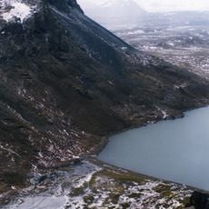
The summit is accessible via hiking trails, but the ascent is steep and demands good footwear and careful footing on uneven ground. Come early in the day and be ready for changing mountain weather conditions.

Did you know?

Archaeological excavations here since 1990 have uncovered important artifacts that tell of centuries of trade and settlement. The discoveries show that people living in this remote location maintained strong connections with distant markets.

GPS coordinates
-49.31694,69.73142
Latest update
December 15, 2025 13:24

AroundUs brings together thousands of curated places, local tips, and hidden gems, enriched daily by 60,000 contributors worldwide. Discover all places nearby (France).

« Le Camp de César - Mountain summit at 1000 meters elevation, France » is provided by Around Us (aroundus.com). Images and texts are derived from Wikimedia project under a Creative Commons license. You are allowed to copy, distribute, and modify copies of this page, under the conditions set by the license, as long as this note is clearly visible.

Discover hidden gems everywhere you go!

From secret cafés to breathtaking viewpoints, skip the crowded tourist spots and find places that match your style. Our app makes it easy with voice search, smart filtering, route optimization, and insider tips from travelers worldwide. Download now for the complete mobile experience.

Around Us App Screenshot

A unique approach to discovering new places

Le Figaro

All the places worth exploring

France Info

A tailor-made excursion in just a few clicks

20 Minutes

Around Us
Travel Guide & Maps
Download

Send to your phone

QR Code
1

Open the camera app on your mobile.

2

Point at the QR code with your camera. A notification will appear.

3

Tap the notification to open the link.