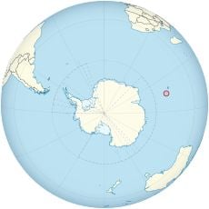
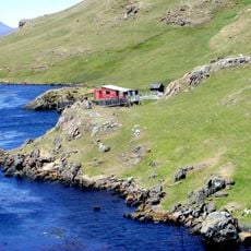
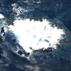
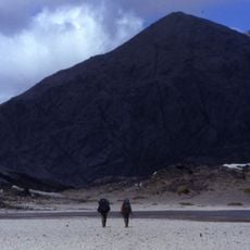
Volcan du Diable, Volcanic peak in Kerguelen Islands, French Southern and Antarctic Lands
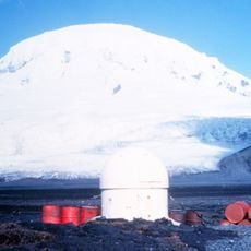
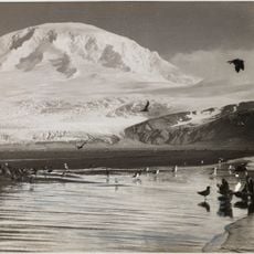
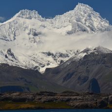
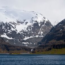
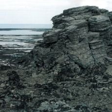
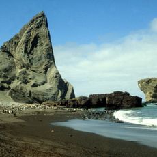
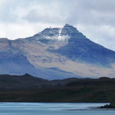
Volcan du Diable is a volcanic cone on Grande Terre that rises steeply from the central landscape. The slopes display clear traces of volcanic activity through visible layers of different rock types.
The name Volcan du Diable was given by Charles Mouzon, district chief of the Kerguelen Islands, during the second mission in 1952. The cone is one of the youngest volcanoes of the archipelago and an adventive eruptive vent of the mont Ross massif, like puy Saint-Théodule about 7 km to the west. Its activity began with phreatomagmatic eruptions that laid down ashes, yellow palagonitic tuffs and breccias, then continued with scoria and basaltic bombs and a lava flow toward the southwest.
The name was given in 1952 by Charles Mouzon, district chief of Kerguelen, during the second mission. The volcano appears on a 2003 TAAF "carnet gourmand" stamp drawn by Jean-Claude Mézières, paired with a recipe for reindeer civet called "volcan du Diable".
The volcano lies on the north–south route between the former fish station at Lac d'Armor and the former whaling plant at Port-Jeanne-d'Arc, in the southern part of the Central Plateau. Its south slope drops to the Anse du Volage at the head of the Baie des Swains, its north slope toward Lakes Noir, d'Argoat and d'Enfer. Access is by expedition ship from Réunion, then on foot; the Kerguelen climate brings strong wind and frequent rain, so allow for delays.
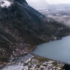
The volcano's northern slopes are clearly visible from beaches near Argoat Lake, showing the island's geological history. This view gives visitors insight into rock layers without difficult climbing.
The community of curious travelers
AroundUs brings together thousands of curated places, local tips, and hidden gems, enriched daily by 93,128 contributors worldwide.