Anzac Peak, Volcanic summit on Laurens Peninsula, Heard Island, Australia
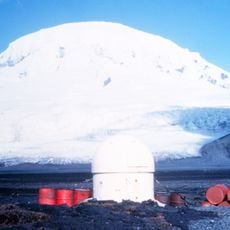
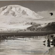
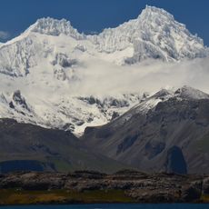
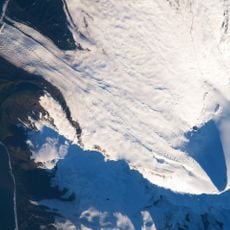
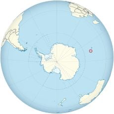
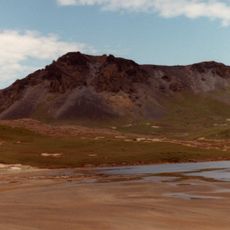
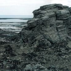
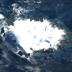
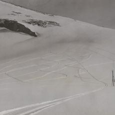
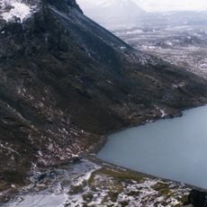
Anzac Peak is a volcanic summit on Heard Island rising 715 meters above sea level in the Southern Ocean. The mountain maintains permanent snow cover and features the Jacka Glacier with multiple ice formations along its slopes.
Anzac Peak appears on a map drawn by the American sealing captain H. C. Chester in 1860. On 25 April 1948, ANZAC Day, members of the Australian National Antarctic Research Expeditions surveyed the peak and named it after that commemorative day.
The name comes from ANZAC Day, the Australian and New Zealand memorial day. Members of the Australian National Antarctic Research Expeditions surveyed the peak on 25 April 1948, ANZAC Day, and named it after the occasion.
Anzac Peak stands on the Laurens Peninsula, the northwestern part of Heard Island, and is the peninsula's highest point at 715 m. It lies northwest of Mawson Peak. The island is an Australian external territory in the Southern Ocean, reached only by sea, and the peak's permanent snow and ice, with icefalls on the Jacka Glacier, make it a mountaineering objective rather than a walk-up.
Anzac Peak was first charted in 1860 on a map by the American sealing captain H. C. Chester. Members of the Australian National Antarctic Research Expeditions surveyed it on 25 April 1948, ANZAC Day, and named it after that commemoration day.
The community of curious travelers
AroundUs brings together thousands of curated places, local tips, and hidden gems, enriched daily by 93,229 contributors worldwide.