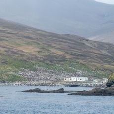
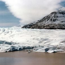
Cook Glacier, Ice cap in Kerguelen Islands, French Southern and Antarctic Lands.
Cook Glacier is an ice cap covering the centre-west of Grande Terre, the main island of the Kerguelen archipelago. It rises to 1,049 metres and spans about 400 square kilometres, with roughly sixty outlet glaciers flowing outward. At their snouts, terminal moraines often dam meltwater lakes, and melt streams have cut flat-floored sandar valleys.
The ice cap appeared on early 20th-century French navigation charts under the name Glacier Richthofen before receiving its current name. The renaming honored explorer James Cook and his voyages to southern waters.
Scientists at Port-aux-Français research station study the ice cap's patterns to understand climate changes and geological processes in the Southern Hemisphere.
The ice cap covers the centre-west of Grande Terre, the main island of the Kerguelen archipelago, and is reached only by ship from Port-aux-Français followed by overland travel. Meltwater torrents feed flat-floored sandar valleys and moraine-dammed lakes at the glacier snouts, so stream crossings and soft ground slow progress. Weather changes fast in the Southern Indian Ocean; plan spare days and carry equipment for snow, rain and wind.
Two outlet glaciers, Pasteur and Mariotte, still reach the Indian Ocean at Anse des Glaçons in southwestern Kerguelen, not one. The ice cap also shrank from about 500 km2 in 1963 to roughly 400 km2, and its highest point is 1,049 m.
The community of curious travelers
AroundUs brings together thousands of curated places, local tips, and hidden gems, enriched daily by 94,063 contributors worldwide.