D'Entrecasteaux National Park, Nature reserve in Western Australia, Australia
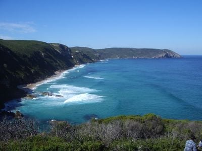
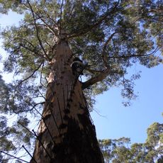
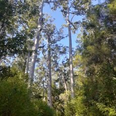
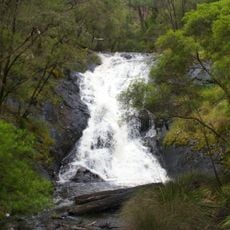
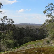
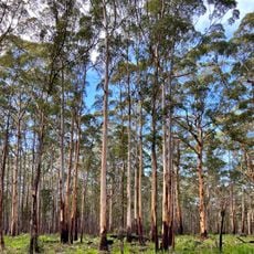
D'Entrecasteaux National Park is a nature reserve along the southwestern coast featuring forests, wetlands, and sandy beaches backed by coastal cliffs. The landscape includes hidden coves, several freshwater lakes, and diverse vegetation across its protected area.
French explorer Admiral Bruni D'Entrecasteaux mapped this coast in 1792, giving the region its name. The area was later designated as a national park to protect its natural and cultural values for future generations.
This coastal area holds deep significance for the Noongar people, who have lived here for thousands of years and left their mark through rock art and sacred sites throughout the landscape. The park serves as a living connection to Indigenous ways of life and land stewardship that visitors can sense while exploring.
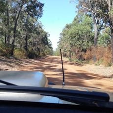
The park is accessible via several entry points, though most involve unpaved roads that can be challenging during wet seasons. Visitors should bring proper footwear, water, and sun protection, as facilities are limited throughout the area.
Yeagarup Dune is a moving sand formation that slowly drifts across the landscape near a freshwater lake, shifting its position year after year. This unusual geological feature is a rare example of an active dune system in the region.
The community of curious travelers
AroundUs brings together thousands of curated places, local tips, and hidden gems, enriched daily by 60,000 contributors worldwide.