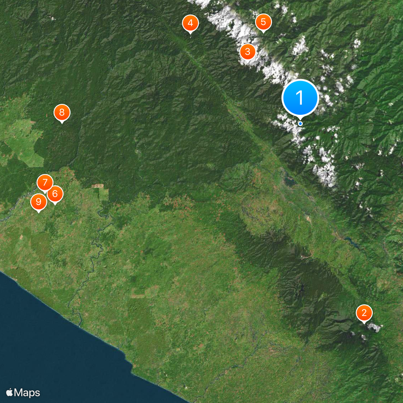
Barisan Mountains, Mountain range in western Sumatra, Indonesia
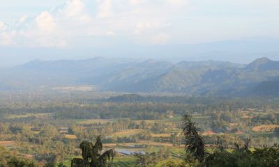
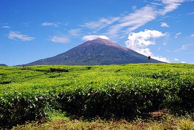
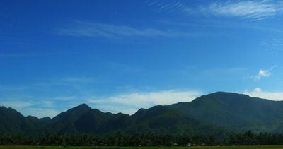
The Barisan Mountains run along Sumatra's western coast, forming a chain of peaks built from volcanic rock. The range contains multiple active volcanoes and rises to significant elevations, with several major peaks serving as reference points for the region.
The Barisan Mountains formed through tectonic forces working over millions of years. A massive volcanic eruption around 74,000 years ago created Lake Toba, one of the world's largest crater lakes, profoundly shaping the region's geography.
Local communities in the Barisan Mountains have shaped their lives around the land for generations, using the slopes and valleys for rice paddies, coffee plantations, and crops suited to the elevation. The relationship between people and mountain shapes daily routines and seasonal rhythms throughout the region.
Access to the mountains is through established hiking trails that link local villages and lead to prominent peaks like Mount Kerinci. Prepare for changing weather conditions and steep terrain when visiting.
The range contains Lake Toba, a vast crater lake that formed after a prehistoric eruption. The lake is so large it holds several islands within it, including inhabited ones.
The community of curious travelers
AroundUs brings together thousands of curated places, local tips, and hidden gems, enriched daily by 60,000 contributors worldwide.