Bukittinggi, Administrative center in West Sumatra, Indonesia
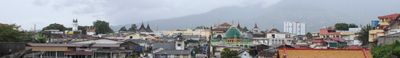
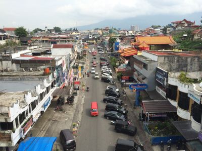
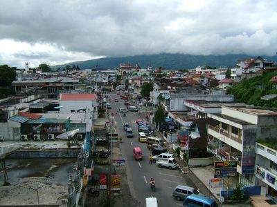
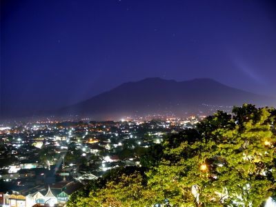
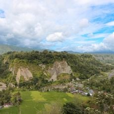
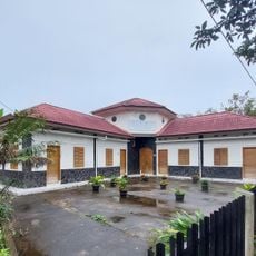
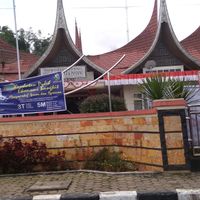
Bukittinggi is a highland town in West Sumatra, surrounded by the volcanic peaks of Singgalang and Marapi and divided into three districts with several older neighborhoods around the center. Streets run along the hilltops, and the dense buildings give way at the edges to open land with rice fields and vegetable gardens.
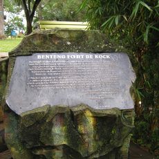
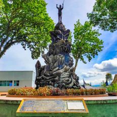
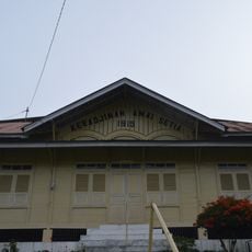
The settlement grew in the 19th century when the Dutch built a fort on the hills and named the place Fort de Kock. After independence, it briefly served as the seat of the Emergency Government and regained its present name.
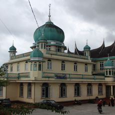
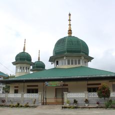
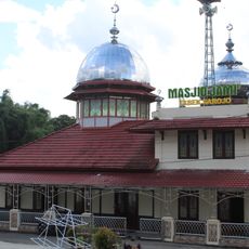
The town takes its name from the tall hills surrounding it, and local life follows the matrilineal system of Minangkabau culture, where family property passes through the mother's line. Walking through the lanes, you often see women selling spices and homemade food in small shops, while men gather in cafés for afternoon conversation.
The town sits at just under 1000 meters elevation, which keeps the climate mild all year, with temperatures ranging from 16 to 25 degrees Celsius. Buses run regularly from larger cities across Sumatra, and the central layout makes orientation in the center fairly easy.
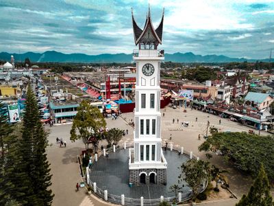
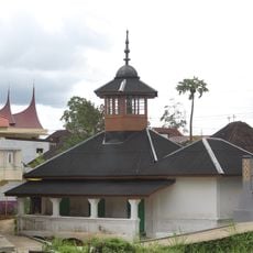
The Jam Gadang, a clock tower from 1926, uses Roman numerals on its faces, with the four shown as IIII instead of IV. Below the tower, tunnels from the Dutch colonial period run through the hill and are now open for visitors.
The community of curious travelers
AroundUs brings together thousands of curated places, local tips, and hidden gems, enriched daily by 60,000 contributors worldwide.