
Payung Sekaki, district in Solok Regency, West Sumatra Province, Indonesia
Location: Solok
Elevation above the sea: 767 m
GPS coordinates: -1.05778,101.03250
Latest update: March 9, 2025 05:33

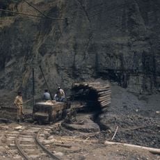
Ombilin coal mine
51.1 km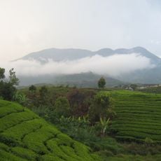
Mount Talang
40.2 km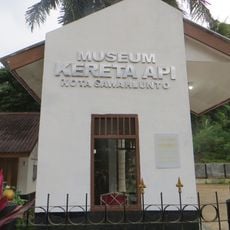
Sawahlunto Rail and Train Museum
50.5 km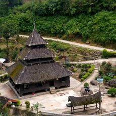
Tuo Kayu Jao Mosque
45.3 km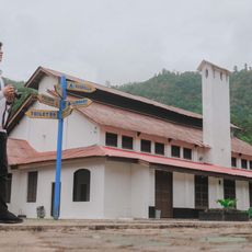
Goedang Ransoem Museum
50.6 km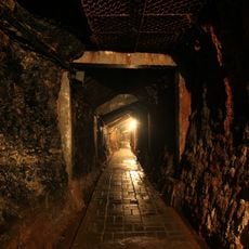
Mbah Soero Mine Pit Site Museum
50.7 km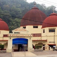
Nurul Islam Great Mosque
50.2 km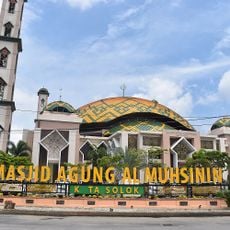
Great Mosque of Solok
50.4 km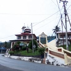
Nurul Huda Mosque
52.7 km
Koto Baru Grand Mosque
47.2 km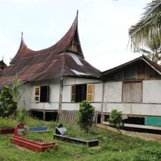
Surau Latiah
50.3 km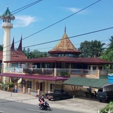
Masjid Babussalam
51.9 km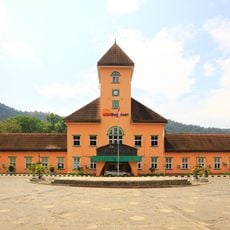
Kantor Bukit Asam Sawahlunto
50.8 km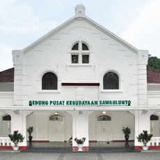
Sawahlunto Cultural Center
50.7 km
60 Kurang Aso Mosque
45 km
Surau Menara
47.4 km
Al-Furqan Mosque
51.2 km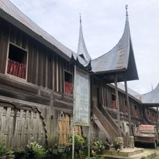
Rumah Gadang 20 Ruang
31.6 km
Masjid Raya Lubuk Sikarah
51.2 km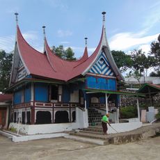
Surau Tinggi Calau
44 km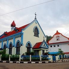
Gereja Katholik Santa Barbara
50.6 km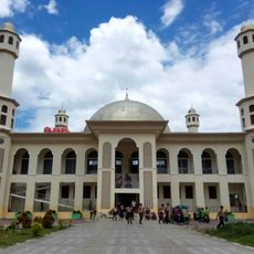
Solok Islamic Center
49.2 km
Ombilin Coal Mine Museum
50.7 km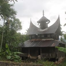
Surau Anjuang Tanah Sirah
43.6 km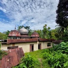
Masjid Jihad Lama Koto Baru
55.4 km
Nurul Hidayah Kajai Mosque
53.5 km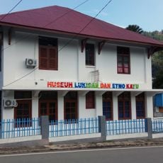
Museum of Paintings and Ethnos of Wood
50.9 km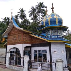
Masjid Al-Falah Laing Pasir
50.9 kmReviews
Visited this place? Tap the stars to rate it and share your experience / photos with the community! Try now! You can cancel it anytime.
Discover hidden gems everywhere you go!
From secret cafés to breathtaking viewpoints, skip the crowded tourist spots and find places that match your style. Our app makes it easy with voice search, smart filtering, route optimization, and insider tips from travelers worldwide. Download now for the complete mobile experience.

A unique approach to discovering new places❞
— Le Figaro
All the places worth exploring❞
— France Info
A tailor-made excursion in just a few clicks❞
— 20 Minutes