Wedge Island, Islet in Shire of Dandaragan, Australia
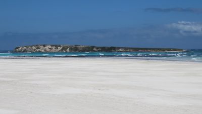
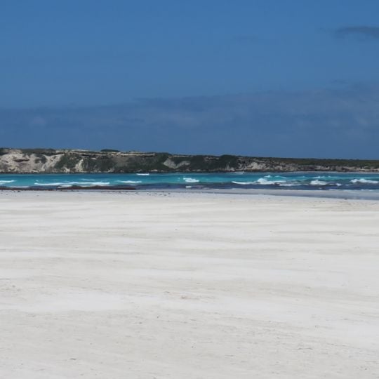
Wedge Island is a small islet off the west coast of Australia, north of Lancelin and south of Cervantes. It has a wedge shape, covers about 4 hectares, and sits roughly 200 meters from the mainland, with a high point of 21 meters.
Wedge Island was named after the surveyor Charles Wedge in 1875 by Commander William Edwin Archdeacon, who was surveying the Western Australian coast for the Admiralty. In September 2010, the Indian Ocean Drive opened, providing two-wheel-drive access to the area.
The island is home to about 350 beach shacks on unallocated land, used by lobster fishermen and holidaymakers. The shacks are simple and close together, and people gather there mainly during the fishing season and summer holidays.
You can reach the island by 4x4 along the beach at low tide, but the sand gets very soft in summer and vehicles often get stuck or swept away by the water. There is no access through the military zone at any time, and trespassers face heavy fines and may lose their vehicle.
The island shares its name with a nearby informal village called Grey, and the two are often referred to together. Some people say the new paved road has changed the local environment.
The community of curious travelers
AroundUs brings together thousands of curated places, local tips, and hidden gems, enriched daily by 94,481 contributors worldwide.