Pilbara, Geographic region in northwestern Western Australia.
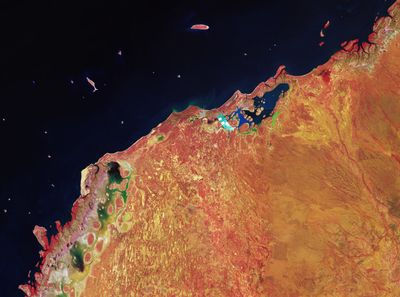
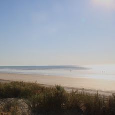
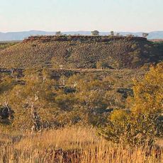
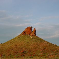
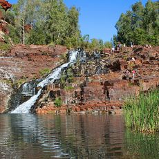
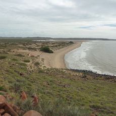
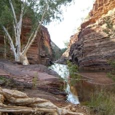
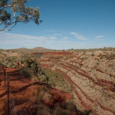
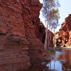
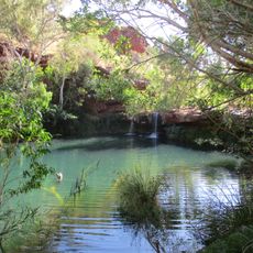
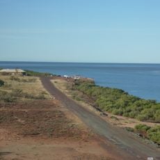
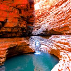
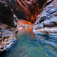
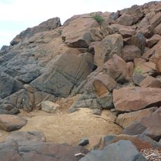
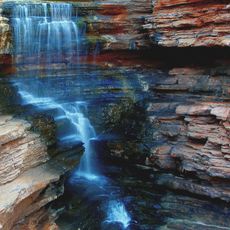
This region in the northwest covers more than 500,000 square kilometers and combines red earth, coastal plains, mountain ranges, cliffs and gorges. The landscape shifts between dry plains and rugged formations that stretch for hundreds of kilometers.
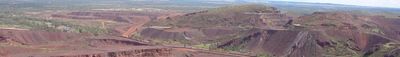
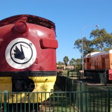
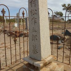
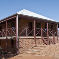
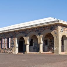
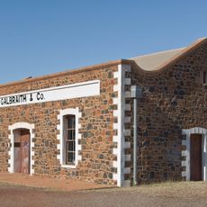
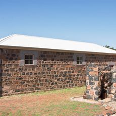
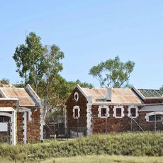
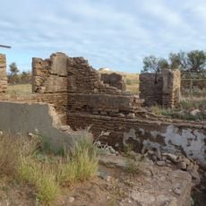
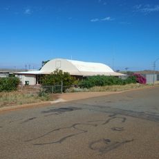
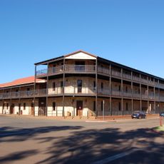
Europeans reached the area around 1861 and established coastal settlements that initially supported livestock farming. Later the economy shifted to mining, which now shapes the region and forms its infrastructure.
The name comes from indigenous languages and either means dry or refers to a type of local fish. Travelers notice red earth tones and wide horizons that shape the landscape and appear in place names or on signs.
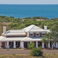
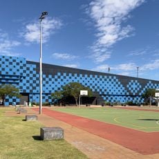
Larger towns such as Port Hedland, Karratha and Newman offer supplies and accommodation. A railway network connects mining sites with the coast and crosses large parts of the landscape.
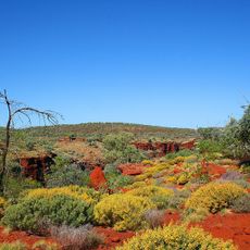
The area holds some of the oldest rock formations on Earth, offering insights into early geological processes. Beneath the surface live numerous animal species that adapted to dry conditions and occur nowhere else.
The community of curious travelers
AroundUs brings together thousands of curated places, local tips, and hidden gems, enriched daily by 60,000 contributors worldwide.