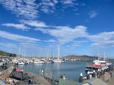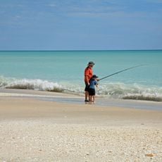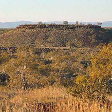
Solitary Islands Australian Marine Park, Marine park off the coast of New South Wales, Australia.
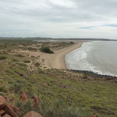
Solitary Islands Marine Park runs 75 km along the northern New South Wales coast, from Muttonbird Island at Coffs Harbour to Plover Island near the Sandon River, covering about 72,000 hectares from the high-water mark to three nautical miles offshore. It takes in five main islands — North, North West, South West (Groper), South and Split Solitary — plus Muttonbird Island and submerged reefs. Habitats range from intertidal and subtidal reefs to seagrass beds, mangroves and saltmarsh.
Lieutenant James Cook sailed past the islands on 15 May 1770 and charted them as the "Solitary Isles". New South Wales declared the state marine park in January 1998 under the Marine Parks Act 1997, after a marine reserve had been created in 1991. A separate Commonwealth reserve covers the deeper waters offshore.
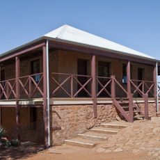
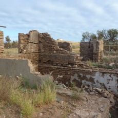
James Cook named the group the "Solitary Isles" on his chart on 15 May 1770, and the park takes its name from that entry. The islands themselves were never inhabited, burned or grazed before European settlement, so their plant cover is what centuries of isolation left. South Solitary Island keeps the 1879 lighthouse and keepers' cottages, now a historic site within the park.
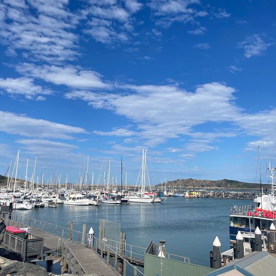
The area is best accessed through organized diving tours departing from Coffs Harbour or Wooli, where guides lead visitors to key spots. Be aware that certain activities require permits and weather conditions can affect accessibility.
The park sits where the warm East Australian Current meets cooler southern waters, allowing tropical, subtropical, and temperate species to live side by side. This natural meeting point creates conditions rarely seen elsewhere.
The community of curious travelers
AroundUs brings together thousands of curated places, local tips, and hidden gems, enriched daily by 95,151 contributors worldwide.