Subang, Administrative region in West Java, Indonesia.
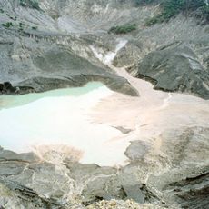
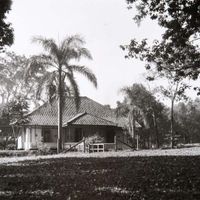
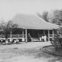
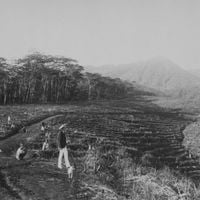
Subang is an administrative district in West Java, Indonesia, stretching from the interior to the northern coast along the Java Sea. The district includes rice fields, small settlements, and a growing port area, divided into thirty sub-districts with over two hundred villages and eight urban localities.
The district was officially established in early April 1948 following nationwide reforms of local administrative structures. The coastal region served as a landing point for smaller trading vessels in earlier centuries before the present administrative formation took shape.
The district name comes from a Sundanese word referring to a type of landscape feature. Along the northern coastal strips, families speak a variation of the Cirebon dialect that has its own sound and vocabulary different from the southern inland areas.
Several highways run through the area and connect it to larger cities nearby. Coastal towns are reached by local minibuses, while the hilly interior is best explored with your own vehicle.
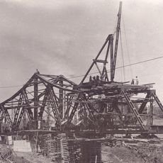
A small harbor on the coast has been expanded in recent years into a larger deep-sea port intended to handle industrial traffic. The works are reshaping the shoreline while fishermen continue to lay their nets on still untouched beach sections.
The community of curious travelers
AroundUs brings together thousands of curated places, local tips, and hidden gems, enriched daily by 60,000 contributors worldwide.