Enable Location

We need your location to show you interesting places around you

Discover nearby places

Find interesting locations and hidden gems around you

Precise directions

Get accurate directions and distances to places

Your location is never shared with other users. It's only used when you tap the location button.

Banjarnegara

Log in to your account

Start exploring — it's free

Trusted by 62,844 travelers worldwide

Continue with Google
Continue with Apple
or

We will send you a code to connect

By continuing, you accept our Terms and Conditions and our Privacy Policy

Check your inbox

We've sent a pincode in your inbox. Please enter the code below.

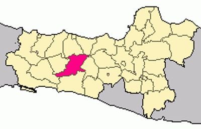
Banjarnegara, Administrative regency in Central Java, Indonesia.

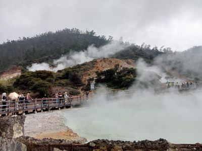
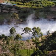
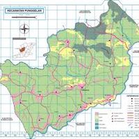
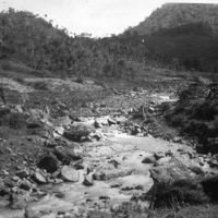
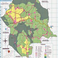
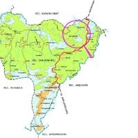
Banjarnegara is an administrative area in Central Java made up of twenty districts with almost three hundred villages, spread across forested hills and farming valleys. The area sits east of the Dieng Plateau and includes flat sections in the north as well as steeper slopes in the south, leading to different agricultural practices across its landscape.

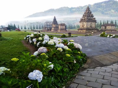
The area was part of kingdoms blending Javanese and Sundanese influences for centuries, with some temple ruins surviving from that period. The current administrative structure was formalized during Dutch colonial rule in the 19th century and later adapted after independence.

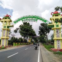
Each district within Banjarnegara contributes to regional traditions through regular festivals featuring local music performances and culinary presentations from 266 rural and 12 urban communities.

The area is best explored with your own vehicle, as public transport between districts is limited and mostly serves the central terminal station in Mandiraja. Visitors planning to reach more remote villages should allow several days, as roads in the southern hills become winding and narrower.

The area is known for its special sheep farming, with Batur sheep kept on higher pastures and their wool used for local craft work. Outside market days, you can watch herders guiding their flocks along mountain roads, part of the everyday rhythm of the rural landscape.

The community of curious travelers

AroundUs brings together thousands of curated places, local tips, and hidden gems, enriched daily by 60,000 contributors worldwide.

Start exploring
Location
Capital city
Banjarnegara
Elevation above the sea
306 m
Shares border with
Kebumen, Banyumas, Purbalingga, Pekalongan, Batang, Wonosobo
GPS coordinates
-7.39611,109.75700
Latest update
December 13, 2025 19:00
« Banjarnegara - Administrative regency in Central Java, Indonesia » is provided by Around Us (aroundus.com). Images and texts are derived from Wikimedia project under a Creative Commons license. You are allowed to copy, distribute, and modify copies of this page, under the conditions set by the license, as long as this note is clearly visible.

Discover hidden gems everywhere you go!

From secret cafés to breathtaking viewpoints, skip the crowded tourist spots and find places that match your style. Our app makes it easy with voice search, smart filtering, route optimization, and insider tips from travelers worldwide. Download now for the complete mobile experience.

Around Us App Screenshot

A unique approach to discovering new places

Le Figaro

All the places worth exploring

France Info

A tailor-made excursion in just a few clicks

20 Minutes

Around Us
Travel Guide & Maps
Download

Send to your phone

QR Code
1

Open the camera app on your mobile.

2

Point at the QR code with your camera. A notification will appear.

3

Tap the notification to open the link.