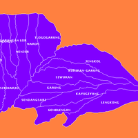
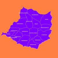
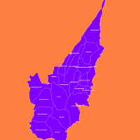
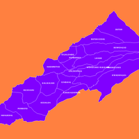
Wonosobo, Administrative regency in Central Java, Indonesia
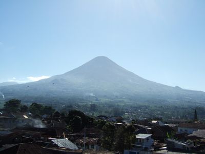
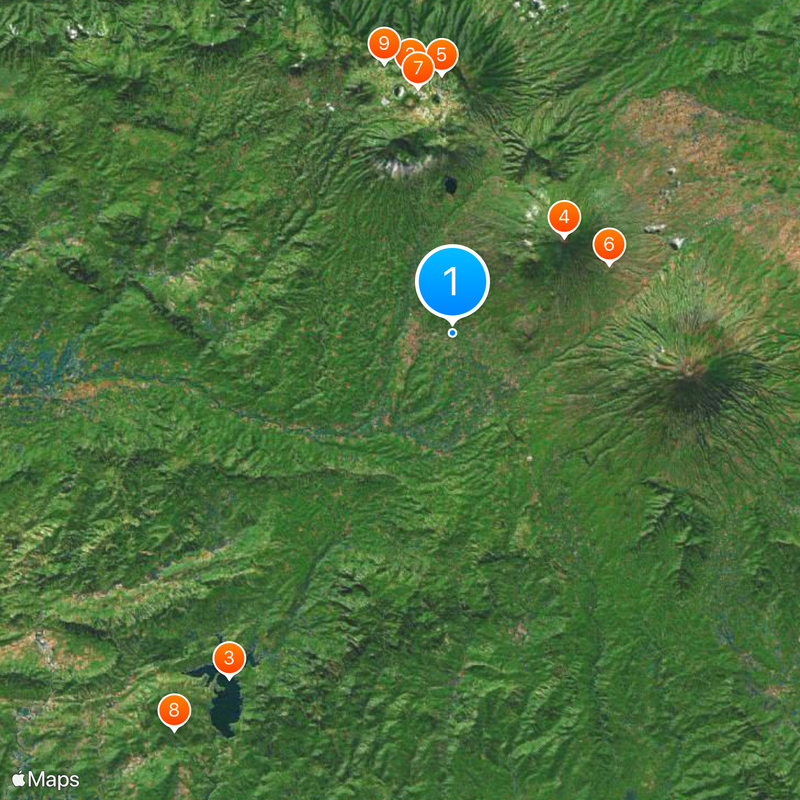
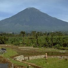
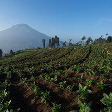
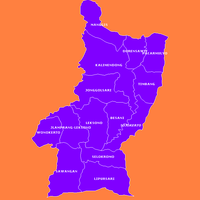
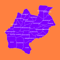
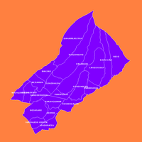
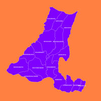
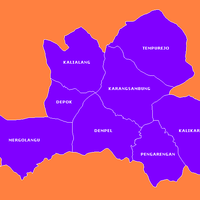
Wonosobo is an administrative regency in Central Java, Indonesia, spread across mountainous terrain at roughly 790 meters elevation. The territory divides into fifteen districts with villages and settlements linked by a network of roads and smaller pathways.
The region originally served as a gathering point in forested areas before becoming an organized administrative unit. Over centuries, settlements developed here along trade routes linking the highlands with coastal plains.
The name derives from the Sanskrit word Vanashabhā, which passed through Javanese as Wanasaba before becoming the current designation. This linguistic evolution points to the area's earlier role as a meeting place within forested landscapes.
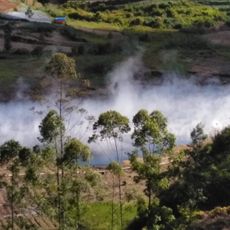
Access comes through roads extending in different directions from the center, including toward Semarang to the north. The terrain can be hilly, so a vehicle is often helpful for longer distances between districts.
Mi ongklok, a local noodle dish, is served here with a thick sauce that differs from most other Indonesian noodle preparations. The Wadaslintang Reservoir provides water to much of the agricultural land and shapes the surrounding landscape.
The community of curious travelers
AroundUs brings together thousands of curated places, local tips, and hidden gems, enriched daily by 60,000 contributors worldwide.