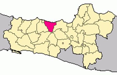
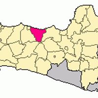
Batang, Administrative division in Central Java, Indonesia
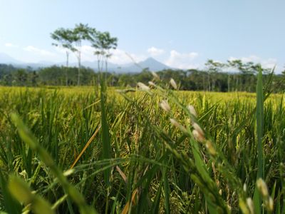
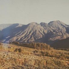
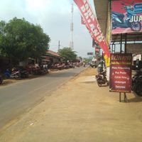
Batang is a regency located on the northern coast of Java, positioned roughly 100 kilometers west of Semarang near the Pantura highway. The region spans an area of 788 square kilometers and serves as a regional administrative hub with modern transportation links.
The regency was established on June 14, 1965, when authorities separated the eastern portion from the former Pekalongan Regency structure. This administrative separation marked its emergence as an independent governmental unit in Central Java.
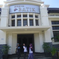
The local population speaks Javanese alongside Indonesian and follows customs that shape daily routines and community gatherings. These traditions create a strong sense of belonging among residents and influence how people interact with each other.
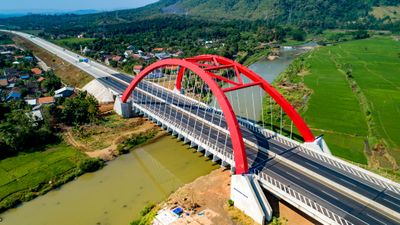
The area is well connected through the Pantura main highway and offers administrative services along with transportation access for travelers and visitors. Exploring the region is straightforward thanks to established road networks and local transport options.
On Jumat Kliwon nights, the town square becomes a large market where vendors gather according to the Javanese calendar system. This event follows a traditional schedule that differs from the standard calendar system.
The community of curious travelers
AroundUs brings together thousands of curated places, local tips, and hidden gems, enriched daily by 60,000 contributors worldwide.