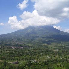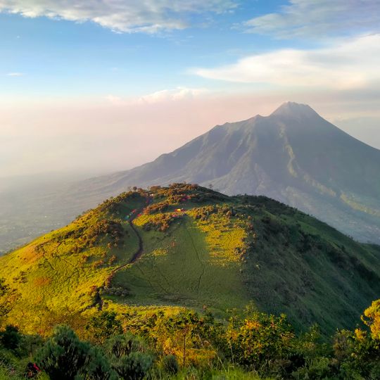
Mount Merbabu National Park, National park in Central Java, Indonesia
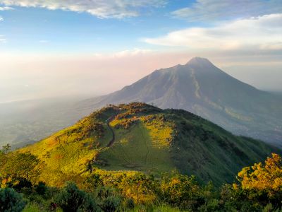
Mount Merbabu National Park covers 5,725 hectares of forest across Boyolali, Magelang and Semarang regencies in Central Java. The mountain has two summits: Syarif at 3,119 m and Kenthèng Songo at 3,145 m. A 1,500 m wide saddle separates it from Mount Merapi to the south-east, and the village of Selo lies in that depression.
Forest protection on Merbabu dates to the Dutch colonial period: Magelang's forests were designated by proces verbaal grensregeling on 27 August 1908, Semarang's (including Lelo and Tekelan enclaves) on 19 May 1915, and Boyolali's as Hutan Larangan Gunung Merbabu on 22 November 1930. The area became Gunung Merbabu National Park through Forestry Ministerial Decree No. 135/Menhut-II/2004 of 4 May 2004, covering 5,725 hectares. Management passed to BKSDA Jawa Tengah on 30 December 2005, and the park office (Balai TNGMb) was formed in June 2006.
The mountain's name is commonly linked to the Javanese words for ash and mountain, though the sources do not confirm this etymology. Villages such as Selo sit in the 1,500 m saddle between Merbabu and Merapi, and the park's two management sections are based at Kopeng and Krogowanan. Climbers often start from Kopeng in the north or Selo in the south.
You can start your walk from several different locations around the base, and the climb will take you several hours depending on your chosen path. Come prepared for changing weather and bring sturdy footwear plus plenty of water.
Merbabu has two summits: Syarif at 3,119 m and Kenthèng Songo at 3,145 m. The 1,500 m wide saddle separating it from Mount Merapi holds the village of Selo, and the northern ascent from Kopeng passes Kenthèng Songo.
The community of curious travelers
AroundUs brings together thousands of curated places, local tips, and hidden gems, enriched daily by 94,794 contributors worldwide.