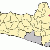
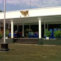
Blora, Administrative region in Central Java, Indonesia
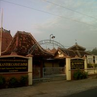
Blora is an administrative region in Central Java, Indonesia, that stretches across hilly terrain and lower plains. The region divides into sixteen districts linked by main roads and a railway line.
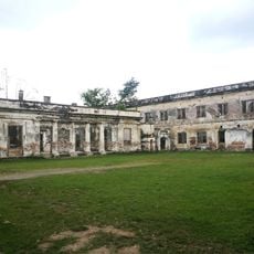
This region was established as a formal administrative unit in the mid-18th century, when local leaders took control over surrounding villages and trade routes. In the 19th century, the colonial administration promoted timber trade and later set up oil facilities that remain active today.
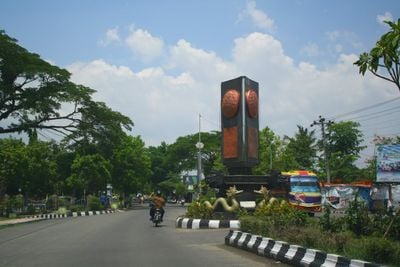
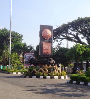
The name Blora appears in local folk songs and Javanese tales that speak of travelers and traders along the old routes through Central Java. Residents today still maintain traditional music groups that perform at public festivals and markets, passing down old melodies this way.
Travelers reach the individual towns through intercity buses and regional trains that connect the main centers. Those wanting to explore smaller districts should use local minibuses or motorcycle taxis to reach more remote settlements.
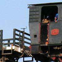
Teak trees grow in the forests, their wood valued for furniture and shipbuilding for centuries. Oil wells in the eastern part still extract crude today, processed in nearby facilities.
The community of curious travelers
AroundUs brings together thousands of curated places, local tips, and hidden gems, enriched daily by 60,000 contributors worldwide.