Enable Location

We need your location to show you interesting places around you

Discover nearby places

Find interesting locations and hidden gems around you

Precise directions

Get accurate directions and distances to places

Your location is never shared with other users. It's only used when you tap the location button.

Log in to your account

Start exploring — it's free

Trusted by 62,989 travelers worldwide

Continue with Google
Continue with Apple
or

We will send you a code to connect

By continuing, you accept our Terms and Conditions and our Privacy Policy

Check your inbox

We've sent a pincode in your inbox. Please enter the code below.

Discussion Reviews Photo
22.3k Popularity

Musi Banyuasin, Administrative region in South Sumatra, Indonesia

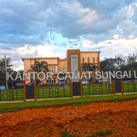
Musi Banyuasin is an administrative region in South Sumatra organized into multiple districts with Sekayu serving as its central hub. The territory encompasses both rural settlements and urban areas spread across lowlands, wetlands, and higher ground.

The region underwent significant administrative reorganization in 2002 when eastern and northeastern areas separated to form a new regency. This change reshaped the territorial boundaries and governance structure as it exists today.

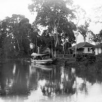
The name combines the Musi River with Banyuasin, a historical settlement, reflecting how the communities here are tied to the landscape and waterways. Local traditions center around water-based activities and farming practices that define daily life in the region.

The region experiences tropical rainfall patterns with peak precipitation occurring during the October to March period. Visitors should expect wet conditions and muddy paths in rural areas, particularly during the rainy season.

The territory contains four distinct soil types that vary by landscape: organic-rich soils in swamps, clay in wetlands, alluvial deposits near the Musi River, and reddish volcanic soils in elevated zones. This variation shapes what can be grown and how land is used across the region.

The community of curious travelers

AroundUs brings together thousands of curated places, local tips, and hidden gems, enriched daily by 60,000 contributors worldwide.

Start exploring
Location
Capital city
Sekayu
Elevation above the sea
57 m
Reference
16.06
Shares border with
Banyuasin, Penukal Abab Lematang Ilir, Musi Rawas, Sarolangun, Batang Hari, Muaro Jambi, North Musi Rawas
GPS coordinates
-2.89389,103.81250
Latest update
December 22, 2025 16:48
Reviews
Share your experience

No review yet

Discussions
Start a discussion...

No discussion yet

« Musi Banyuasin - Administrative region in South Sumatra, Indonesia » is provided by Around Us (aroundus.com). Images and texts are derived from Wikimedia project under a Creative Commons license. You are allowed to copy, distribute, and modify copies of this page, under the conditions set by the license, as long as this note is clearly visible.

Discover hidden gems everywhere you go!

From secret cafés to breathtaking viewpoints, skip the crowded tourist spots and find places that match your style. Our app makes it easy with voice search, smart filtering, route optimization, and insider tips from travelers worldwide. Download now for the complete mobile experience.

Around Us App Screenshot

A unique approach to discovering new places

Le Figaro

All the places worth exploring

France Info

A tailor-made excursion in just a few clicks

20 Minutes

Around Us
Travel Guide & Maps
Download

Send to your phone

QR Code
1

Open the camera app on your mobile.

2

Point at the QR code with your camera. A notification will appear.

3

Tap the notification to open the link.