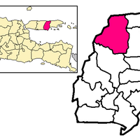
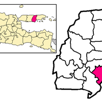
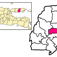
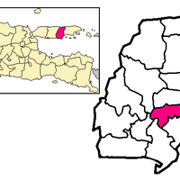
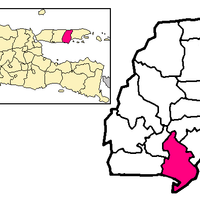
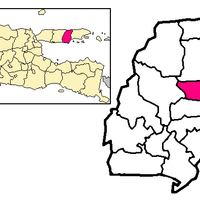
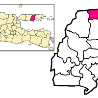
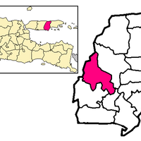
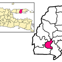
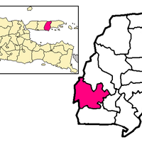
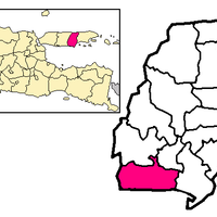
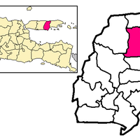
Pamekasan, Administrative region in East Java, Indonesia
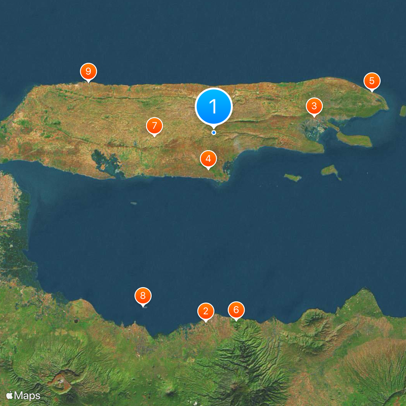
Pamekasan is an administrative region on Madura Island in East Java, made up of thirteen districts spread across the island. The area contains villages, farmland, and small towns that form a patchwork of communities and rural settlements.
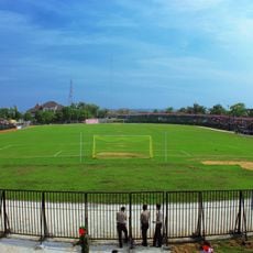
The region developed as an agricultural society from the 15th century onward, with bull racing emerging as a response to farming challenges on less fertile soil. This connection between farming and tradition shaped the area's identity over the centuries.
Traditional batik production in Proppo village shows distinctive patterns and techniques that set Pamekasan textiles apart from other areas on Madura Island. Visitors can watch artisans at work in their workshops, keeping this craft alive as it has been for generations.
The region connects to major routes through a road network linking Madura Island with Java, making travel between Surabaya and smaller towns straightforward. Keep in mind that the bull racing season brings more activity and crowds to the area, so plan your visit accordingly.
The bull racing championships here operate as a tiered system where district competitions lead to a final match for the President's Cup. This tournament draws villages from across the region and makes the area the center of this distinctive local sport.
The community of curious travelers
AroundUs brings together thousands of curated places, local tips, and hidden gems, enriched daily by 60,000 contributors worldwide.