Ashmore and Cartier Islands, External territory in Indian Ocean, Australia
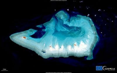
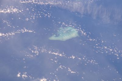
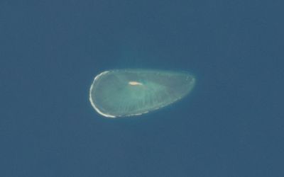
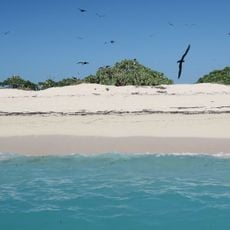
Ashmore and Cartier Islands form an external territory in the Indian Ocean, comprising four small tropical islands spread across two separate reef formations. The territory covers roughly 583 square kilometers of marine area and lies northwest of the Australian coast, roughly halfway between Australia and the Indonesian island of Roti.
Captain Samuel Ashmore sighted the main reef in 1811 during his voyage aboard the Hibernia, while Captain Nash had already encountered Cartier Island in 1800. Australia assumed formal administration of the islands in 1933 and later established a nature reserve to protect the delicate coral ecosystems.
Indonesian fishermen exercise traditional fishing rights in these waters under a 1974 agreement that acknowledges their ancestral ties to the reefs. The arrangement allows them to continue using certain methods and routes their forebears followed for centuries.
Access to the islands is strictly limited to scientific expeditions and official patrols, as the area is a protected nature reserve. The Royal Australian Navy conducts regular patrols in the surrounding waters and assists the administering department based in Canberra.
West Island hosts an automated weather station that continuously collects climate data for the region. Scientists regularly use the territory as a research site to study coral health and the impact of environmental changes on tropical reef systems.
The community of curious travelers
AroundUs brings together thousands of curated places, local tips, and hidden gems, enriched daily by 60,000 contributors worldwide.