Kara Kara National Park, National park in Central West Victoria, Australia
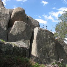
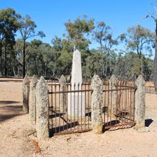
Kara Kara National Park covers 13,990 hectares of box-ironbark forest in the Wimmera/Goldfields region, about 190 km north-west of Melbourne and south of St Arnaud. It protects one of Victoria's most intact remnants of this forest type, with old, tall trees that provide nesting hollows for birds and mammals.
The park was proclaimed on 30 October 2002 as St Arnaud Range National Park, absorbing the former Kara Kara State Park and most of the St Arnaud Range State Forest. After a draft management plan in April 2009 and consultations under the Geographic Place Names Act 1998, it was renamed Kara Kara National Park. Grazing continued here until 1995, and gold prospectors worked shallow shafts and creeks around 1860.
The park lies on Dja Dja Wurrung country and is listed as important to the Dja Dja Wurrung people. Scratched or notched trees and stone artefacts left by Aboriginal occupation are still visible in the park, though little is recorded about how people lived there. The park was created in 2002.
Access is off the Sunraysia Highway between Redbank and St Arnaud, where the park's walking and mountain-bike tracks begin; these vary in grade and quality. The park lies about 190 km north-west of Melbourne and just south of St Arnaud. Most of it falls in Northern Grampians Shire, with the southern part in Pyrenees Shire.
Kara Kara lies within the St Arnaud Box-Ironbark Region Important Bird Area, identified by BirdLife International for its importance to swift parrots and other woodland birds. The old, tall eucalypts of the St Arnaud Range provide nesting hollows used by these birds, and also by the yellow-footed antechinus and the sugar glider.
The community of curious travelers
AroundUs brings together thousands of curated places, local tips, and hidden gems, enriched daily by 93,609 contributors worldwide.