Burwood

Log in to your account

AroundUs is a community-driven map of interesting places, built by curious explorers like you. It grows with every review, story, and photo you share.
Connect to save your favorite spots, contribute locations, and create personalized routes.
Continue with Google
Continue with Apple
Continue with X
Continue with Facebook
Continue with email
By continuing, you accept our Terms and Conditions and our Privacy Policy
Create an account
Add to collection
Map
Suggest a change
Share

Burwood, Administrative division in City of Whitehorse, Australia

Burwood is a suburb in Melbourne's eastern region featuring rows of residential homes mixed with newer apartment complexes spread across tree-lined streets. The neighborhood combines single-story houses, modest townhouses, and mid-rise buildings arranged around local shopping strips and parks.

After World War II, the area shifted from farming land into a residential suburb with rapid building and population growth during the 1950s and beyond. This post-war development created the suburban character you see in the streets and housing styles today.

People from many different backgrounds live here, and you notice this diversity when you walk through local shops and streets. The community comes together through neighborhood markets, school events, and public celebrations that reflect these different traditions.

Trams and buses run regularly through main streets, connecting the area directly to central Melbourne and making getting around straightforward without a car. Tree-lined residential streets are walkable and flat, so exploring on foot is comfortable and safe.

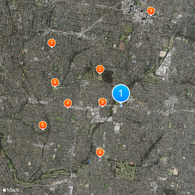
Small parks and gardens are scattered throughout the neighborhood rather than concentrated in one place, giving each pocket of the area its own gathering spot. Sports grounds and playgrounds are woven into the residential landscape, used regularly by families and local clubs who make these spaces part of their weekly routine.

Location: Victoria

Location: City of Monash

Location: City of Whitehorse

Elevation above the sea: 80 m

Shares border with: Surrey Hills, Ashwood, Box Hill South, Camberwell, Glen Iris, Mount Waverley, Blackburn South, Burwood East

GPS coordinates: -37.85000,145.11400

Latest update: December 20, 2025 13:45

Photos
Reviews

Visited this place? Tap the stars to rate it and share your experience / photos with the community! Try now! You can cancel it anytime.

« Burwood - Administrative division in City of Whitehorse, Australia » is provided by Around Us (aroundus.com). Images and texts are derived from Wikimedia project under a Creative Commons license. You are allowed to copy, distribute, and modify copies of this page, under the conditions set by the license, as long as this note is clearly visible.

Discover hidden gems everywhere you go!

From secret cafés to breathtaking viewpoints, skip the crowded tourist spots and find places that match your style. Our app makes it easy with voice search, smart filtering, route optimization, and insider tips from travelers worldwide. Download now for the complete mobile experience.

Around Us App Screenshot

A unique approach to discovering new places

Le Figaro

All the places worth exploring

France Info

A tailor-made excursion in just a few clicks

20 Minutes