
Windmill Farm, Macedon Ranges Shire Windmill Farm including the bluestone windmill tower, timber residence and barn, outbuildings and remnant trees and hedges. History Summary The land on which Windmill Farm is located was…
Location: Victoria
Address: 1203 Kyneton-Metcalfe Road, Kyneton, Victoria
GPS coordinates: -37.20043,144.42743
Latest update: March 23, 2025 06:04
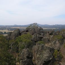
Hanging Rock
20.7 km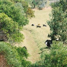
Keyline design
16.2 km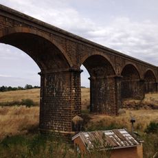
Malmsbury Viaduct
4.2 km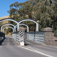
Redesdale Bridge
22.9 km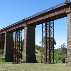
Taradale Viaduct
9.1 km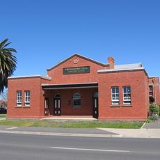
Kyneton Masonic Hall
5.5 km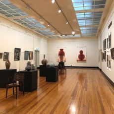
Castlemaine Art Museum
24.1 km
Kyneton Botanic Gardens
10.7 km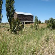
Degraves Mill
9 km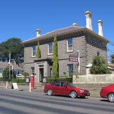
Old Bank of New South Wales building, Kyneton
5.2 km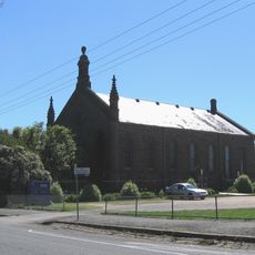
Bluestone Theatre
5.5 km
Kyneton Museum
5.2 km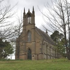
Holy Trinity church and Sunday school
9.8 km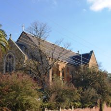
Christ Church
24.1 km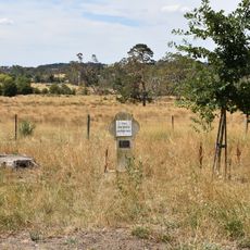
Royal Oaks
8.9 km
Kyneton Post Office
5.7 km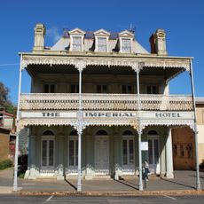
Imperial Hotel
23.9 km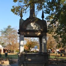
Patterson Memorial Drinking Fountain
23.9 km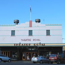
Theatre Royal
23.7 km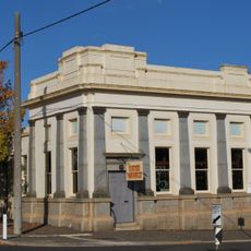
State Savings Bank building
24.1 km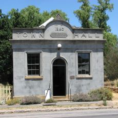
Chewton Town Hall
20.1 km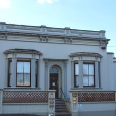
11 Mostyn Street, Castlemaine
24.1 km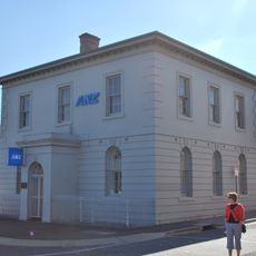
Bank of Australasia building, Castlemaine
23.9 km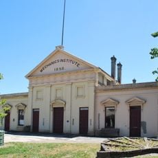
Mechanics Institute
5.9 km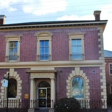
CBC Bank building
24 km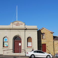
Telegraph Office and Faulder Watson Hall
24.1 km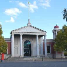
Castlemaine Market
23.9 km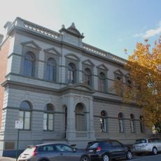
Castlemaine School of Mines
23.9 kmReviews
Visited this place? Tap the stars to rate it and share your experience / photos with the community! Try now! You can cancel it anytime.
Discover hidden gems everywhere you go!
From secret cafés to breathtaking viewpoints, skip the crowded tourist spots and find places that match your style. Our app makes it easy with voice search, smart filtering, route optimization, and insider tips from travelers worldwide. Download now for the complete mobile experience.

A unique approach to discovering new places❞
— Le Figaro
All the places worth exploring❞
— France Info
A tailor-made excursion in just a few clicks❞
— 20 Minutes