
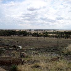
Leaghur State Park, protected area in Victoria, Australia
Location: Victoria
Inception: 1992
Elevation above the sea: 89 m
GPS coordinates: -35.91670,143.80000
Latest update: June 13, 2025 20:28
Mount Wycheproof
54 km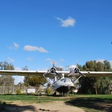
Lake Boga Flying Boat Base
54.1 km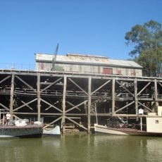
Echuca wharf
88.2 km
Kooyoora State Park
76.8 km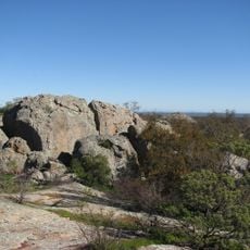
Terrick Terrick National Park
46 km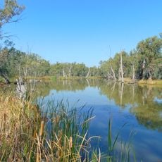
Gunbower National Park
48.3 km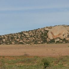
Mount Hope
37.2 km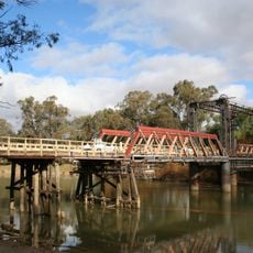
Swan Hill-Murray River Road Bridge
67.9 km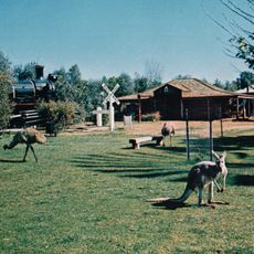
Pioneer Settlement
66.8 km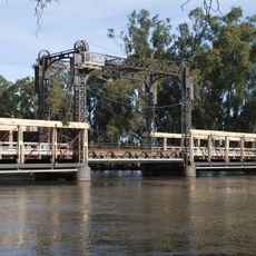
Barham Bridge over Murray River
43.3 km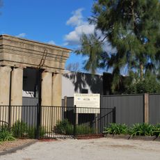
Moama Historic Precinct
88.6 km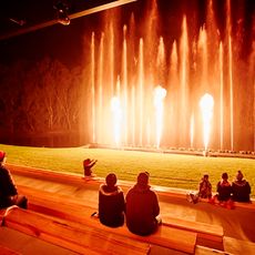
Pioneer Settlement & Heartbeat Of The Murray Laser Spectacular
66.8 km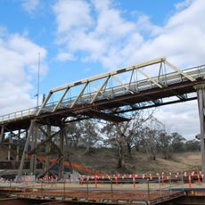
Coonamit Bridge over Wakool River
87.7 km
National Holden Motor Museum
88.1 km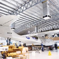
Lake Boga Flying Boat Museum
54.1 km
TwistED Science - Echuca
88.4 km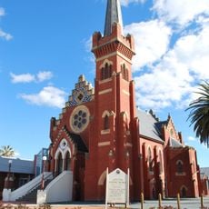
St Andrew's Uniting church
88.7 km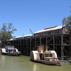
Echuca-Moama
88.4 km
Inglewood Court House
73.3 km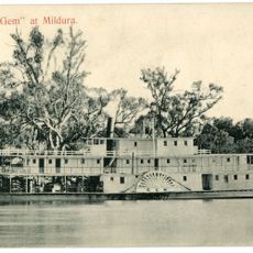
Paddle Steamer Gem
66.7 km
Charlie Napier Hotel
73.4 km
Echuca Historical Society Museum
88 km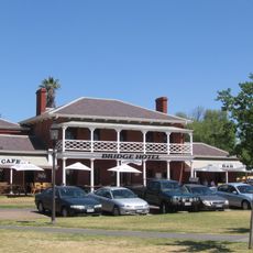
Henry's Bridge Hotel
88.2 km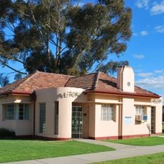
Alton Gallery
88.7 km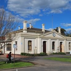
Echuca Town Hall
88.4 km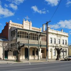
Dr Crosson's Residence and Surgery
88.4 km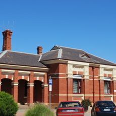
Kerang Post Office
23.1 km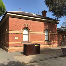
Echuca Customs House
88.2 kmReviews
Visited this place? Tap the stars to rate it and share your experience / photos with the community! Try now! You can cancel it anytime.
Discover hidden gems everywhere you go!
From secret cafés to breathtaking viewpoints, skip the crowded tourist spots and find places that match your style. Our app makes it easy with voice search, smart filtering, route optimization, and insider tips from travelers worldwide. Download now for the complete mobile experience.

A unique approach to discovering new places❞
— Le Figaro
All the places worth exploring❞
— France Info
A tailor-made excursion in just a few clicks❞
— 20 Minutes