
Wakool Weir
Location: New South Wales
Elevation above the sea: 92 m
GPS coordinates: -35.49222,144.77194
Latest update: April 6, 2025 23:11
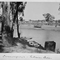
Cummeragunja Reserve
61.9 km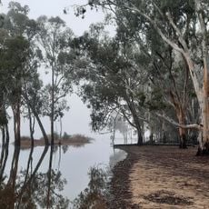
Barmah National Park
53.3 km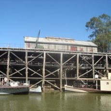
Echuca wharf
69.9 km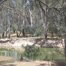
Murray Valley National Park
46.9 km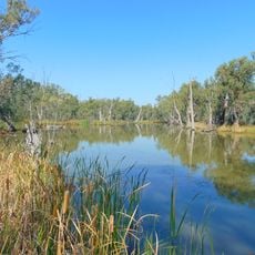
Gunbower National Park
55.3 km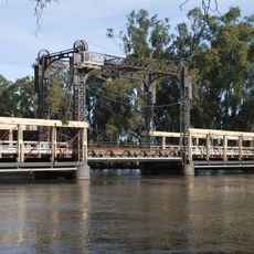
Barham Bridge over Murray River
60.6 km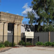
Moama Historic Precinct
69.9 km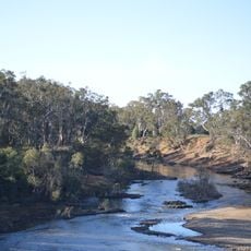
Lower Goulburn National Park
66.2 km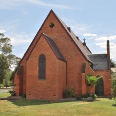
Old St Paul's Anglican Church, Deniliquin
17.8 km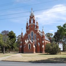
St Andrew's Uniting Church, Deniliquin
17.8 km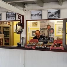
National Holden Motor Museum
69.9 km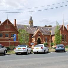
Deniliquin Public School and School Master's Residence
17.9 km
The Depot
16.9 km
TwistED Science - Echuca
70.3 km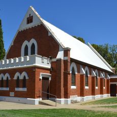
Finley Presbyterian Church
74.8 km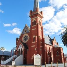
St Andrew's Uniting church
70.9 km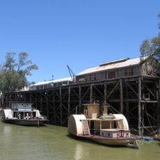
Echuca-Moama
69.5 km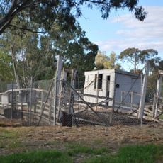
Barmah Punt
60.9 km
Echuca Historical Society Museum
69.9 km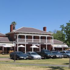
Henry's Bridge Hotel
69.9 km
Alton Gallery
70.9 km
Dr Crosson's Residence and Surgery
70.4 km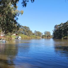
Mcleans Beach
16.4 km
Echuca Town Hall
70.4 km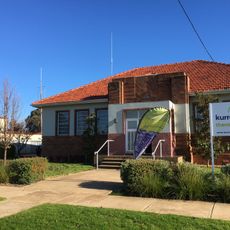
Finley Library
74.7 km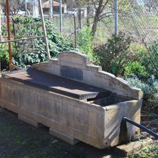
Horse trough
74.6 km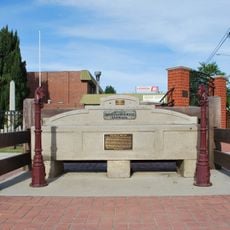
Horse trough
60.3 km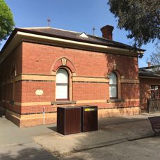
Echuca Customs House
70.1 kmReviews
Visited this place? Tap the stars to rate it and share your experience / photos with the community! Try now! You can cancel it anytime.
Discover hidden gems everywhere you go!
From secret cafés to breathtaking viewpoints, skip the crowded tourist spots and find places that match your style. Our app makes it easy with voice search, smart filtering, route optimization, and insider tips from travelers worldwide. Download now for the complete mobile experience.

A unique approach to discovering new places❞
— Le Figaro
All the places worth exploring❞
— France Info
A tailor-made excursion in just a few clicks❞
— 20 Minutes