
Mulwala, town in New South Wales, Australia
Location: Federation Council
GPS coordinates: -35.98692,146.00268
Latest update: March 6, 2025 10:28
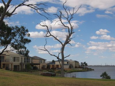
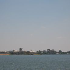
Lake Mulwala
8.5 km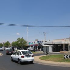
Yarrawonga
3.1 km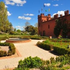
All Saints Estate Winery
36.9 km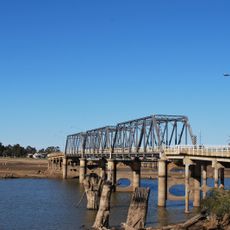
Mulwala Bridge
1.9 km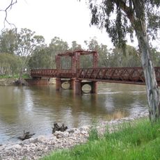
Murray River road and railway bridge, Tocumwal
44.6 km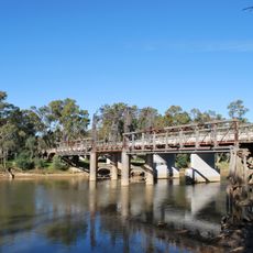
Old Cobram-Barooga Bridge
31.1 km
Savernake Station
24.8 km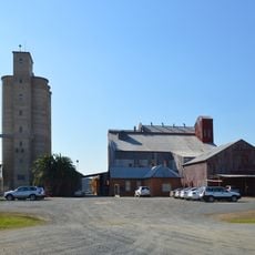
Corowa Flour Mill
35 km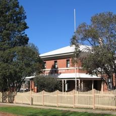
Corowa Courthouse
35.2 km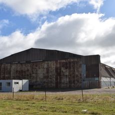
World War II Aeroplane Hangar, Tocumwal
41.6 km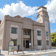
Yarrawonga Shire Hall
2.9 km
Buller Wines
37.6 km
Chrystie's Museum
40.1 km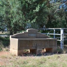
Horse trough
41.6 km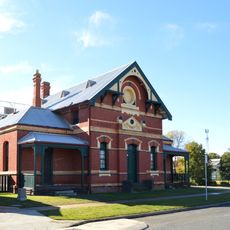
Yarrawonga Court House
2.7 km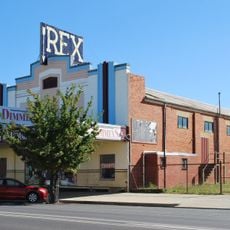
Rex Theatre
35 km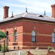
Wahgunyah Customs House
35.4 km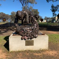
Shearing of the Ram
36.1 km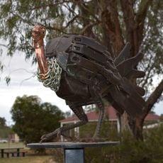
Tungamah Brush Turkey
22.9 km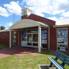
Mulwala Library
334 m
Howlong Library
56.3 km
Tocumwal Aviation Museum
41.7 km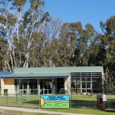
Barooga Library
30.2 km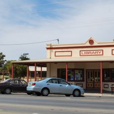
Tocumwal Library
43.3 km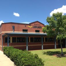
Berrigan Library
40.6 km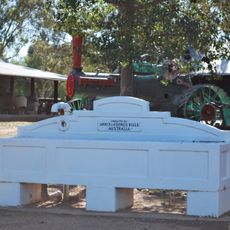
Horse trough
50.1 km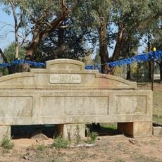
Horse trough
33.4 km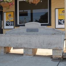
Horse trough
35.1 kmReviews
Visited this place? Tap the stars to rate it and share your experience / photos with the community! Try now! You can cancel it anytime.
Discover hidden gems everywhere you go!
From secret cafés to breathtaking viewpoints, skip the crowded tourist spots and find places that match your style. Our app makes it easy with voice search, smart filtering, route optimization, and insider tips from travelers worldwide. Download now for the complete mobile experience.

A unique approach to discovering new places❞
— Le Figaro
All the places worth exploring❞
— France Info
A tailor-made excursion in just a few clicks❞
— 20 Minutes