
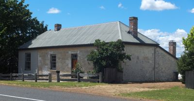
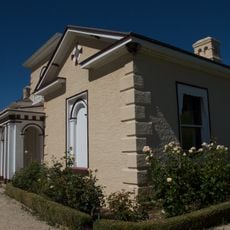
32 Bond Street, Ross, building in Ross, Tasmania
Location: Northern Midlands Council
Inception: 1850s
Made from material: sandstone
Address: 32 Bond Street, Ross TAS 7209
GPS coordinates: -42.03180,147.49447
Latest update: September 24, 2025 15:48
Woolmers Estate
53.6 km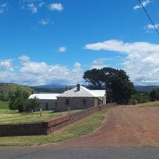
Ross Female Factory
205 m
Ross Bridge
407 m
Mona Vale, Tasmania
6.8 km
Callington Mill
31.3 km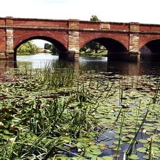
Red Bridge
11 km
Stacks Bluff
47.9 km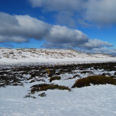
Ben Lomond National Park
54 km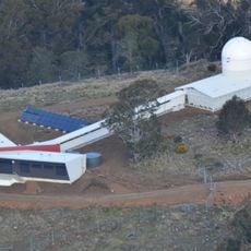
Greenhill Observatory
47.6 km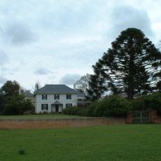
Brickendon and Woolmers Estates
53.9 km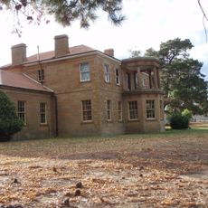
Strathbarton
50.1 km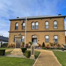
Oatlands Town Hall
31.5 km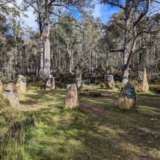
Steppes Sculptures
50.4 km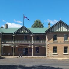
Ross Hotel
199 m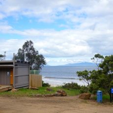
Mayfield Beach
48.5 km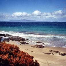
Tirzah Beach
48.2 km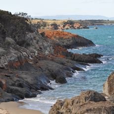
Spiky Beach
49.5 km
Ross Anglican Cemetery
208 m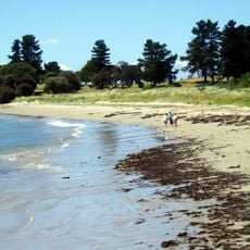
Jubilee Beach
48.6 km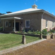
Tasmanian Wool Centre Ross
217 m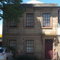
Macquarie House
461 m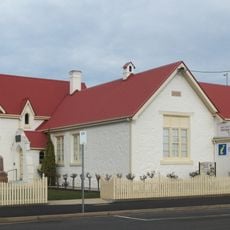
East Coast Heritage Museum, Swansea Tasmania
49.1 km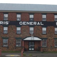
Morris General Store, Swansea Tasmania
49 km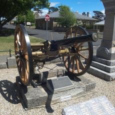
Ross war memorial
212 m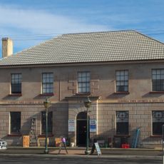
Campbell Town Inn
11.4 km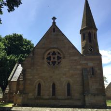
St John's Anglican Church, Ross Tasmania
538 m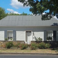
The Sheirling
324 m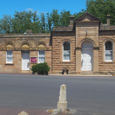
Ross Town Hall and Council Chambers
182 mVisited this place? Tap the stars to rate it and share your experience / photos with the community! Try now! You can cancel it anytime.
Discover hidden gems everywhere you go!
From secret cafés to breathtaking viewpoints, skip the crowded tourist spots and find places that match your style. Our app makes it easy with voice search, smart filtering, route optimization, and insider tips from travelers worldwide. Download now for the complete mobile experience.

A unique approach to discovering new places❞
— Le Figaro
All the places worth exploring❞
— France Info
A tailor-made excursion in just a few clicks❞
— 20 Minutes