
Former Coggans Bakery, building in Australian Capital Territory, Australia
Location: Australian Capital Territory
GPS coordinates: -35.27343,149.13187
Latest update: March 13, 2025 14:37
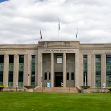
National Film and Sound Archive of Australia
1.5 km
City Hill
977 m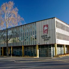
Canberra Museum and Gallery
810 m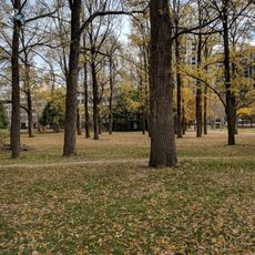
Glebe Park
1.1 km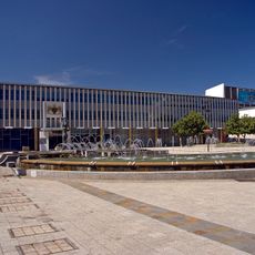
Legislative Assembly Building, Australian Capital Territory
913 m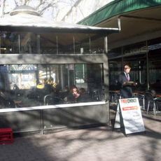
Gus's
486 m
Australian National University Classics Museum
1 km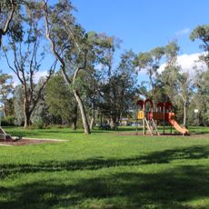
Corroboree Park
1.1 km
Canberra Theatre
910 m
Haig Park
449 m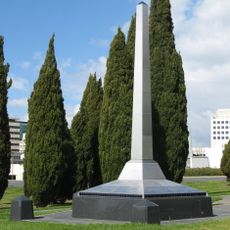
Canberra Centenary Column
927 m
Reserve Bank of Australia
890 m
Fractured Heart
1.5 km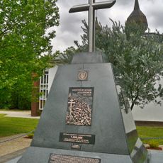
Holodomor memorial
432 m
Gorman House Arts Centre
711 m
No Name Lane
691 m
City
596 m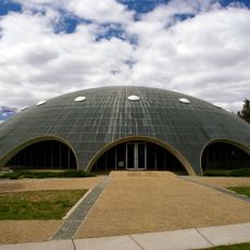
Shine Dome
1.4 km
Ainslie School
706 m
CSIRO Main Entomology Building
1.6 km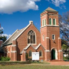
Canberra Korean Uniting church
1.1 km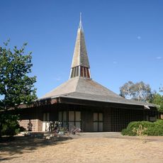
Holy Trinity Finnish Lutheran Church
498 m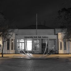
Drill Hall Gallery
819 m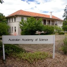
Ian Potter House
1.3 km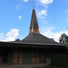
Finnish Holy Trinity Lutheran Church
497 m
Canberra City Uniting Church
433 m
Gus Cafe
491 m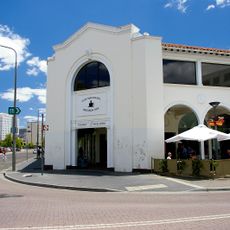
Sydney Building
651 mReviews
Visited this place? Tap the stars to rate it and share your experience / photos with the community! Try now! You can cancel it anytime.
Discover hidden gems everywhere you go!
From secret cafés to breathtaking viewpoints, skip the crowded tourist spots and find places that match your style. Our app makes it easy with voice search, smart filtering, route optimization, and insider tips from travelers worldwide. Download now for the complete mobile experience.

A unique approach to discovering new places❞
— Le Figaro
All the places worth exploring❞
— France Info
A tailor-made excursion in just a few clicks❞
— 20 Minutes