Arthur's Pass National Park, National park in South Island, New Zealand.
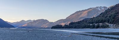
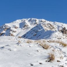
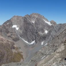
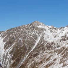
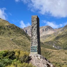
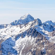
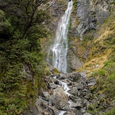
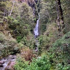
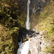
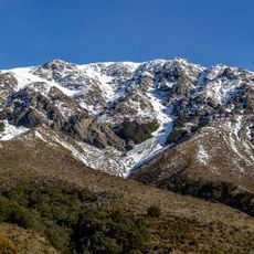
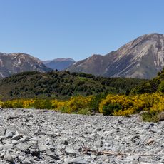
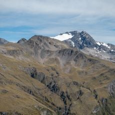
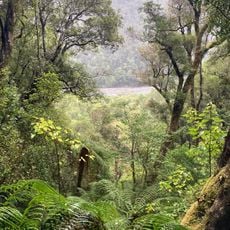
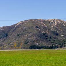
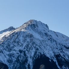
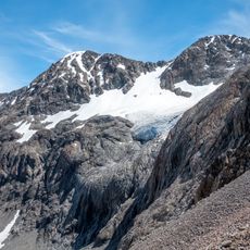
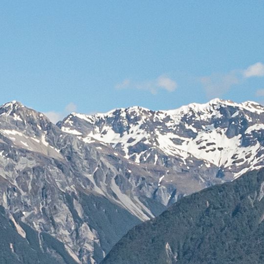
Arthur's Pass National Park is a protected area in the Southern Alps of New Zealand, covering mountains, valleys, and river landscapes with alpine vegetation. The terrain rises from low river valleys to high mountain peaks, giving the park a wide range of natural environments.
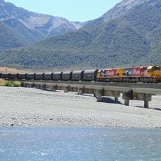
Land in Arthur's Pass and the Ōtira Gorge was set aside under the Lands Act 1885 and the Scenery Preservation Act of 1903. After the Midland railway line opened, day excursions from Christchurch began in 1926, and visitors cut rātā blooms and trees as souvenirs. That pressure led to the park's establishment in 1929 as the South Island's first national park and New Zealand's third.
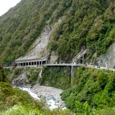
The park's Maori name, Te Tarahaka o Kaimatau, refers to the mountain pass. The area was traversed by Maori travelling between Canterbury and the West Coast, and the modern highway and railway follow the same corridor. The village of Arthur's Pass, with 48 residents in 2018, is the main base for walks into the park.
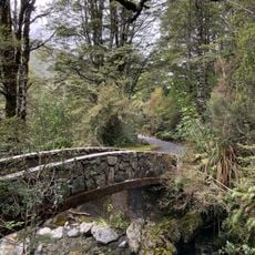
The park has marked trails for all levels, from short walks to multi-day routes, and most trailheads are easy to find from the main road. Weather in the mountains can shift very quickly, so warm and waterproof clothing is a good idea regardless of the season.
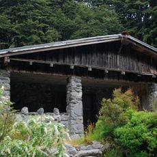
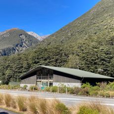
The park's Māori name, Te Tarahaka o Kaimatau, refers to the cloak of Kaimatau, a figure in Ngāi Tahu tradition. The first national park visitor centre in New Zealand was built in Arthur's Pass village in 1959, designed by Christchurch architect Paul Pascoe using local stone to reflect the park's geology.
The community of curious travelers
AroundUs brings together thousands of curated places, local tips, and hidden gems, enriched daily by 94,766 contributors worldwide.