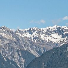
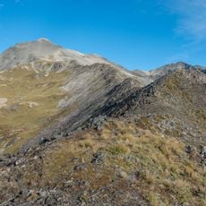
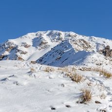
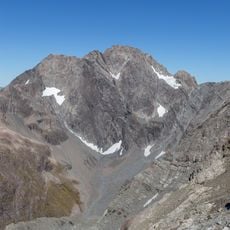
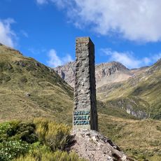
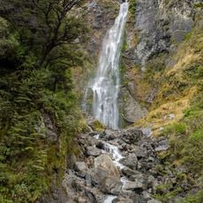
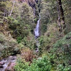
Craigieburn Forest Park, Forest park in Canterbury Region, New Zealand.
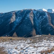
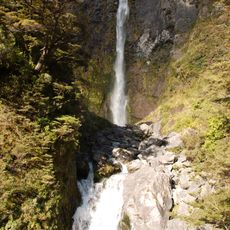
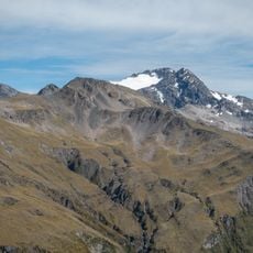
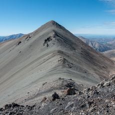
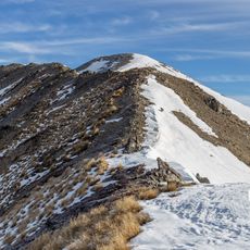
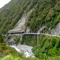
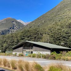
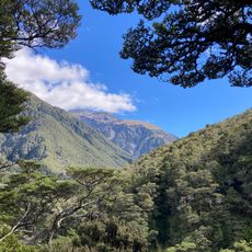
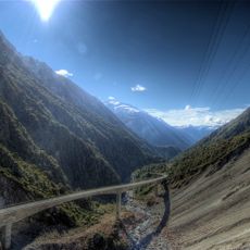
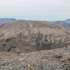
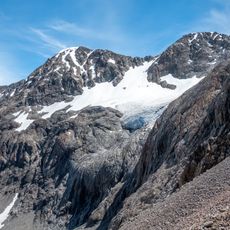
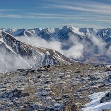
Craigieburn Forest Park covers 44,694 hectares of mountainous land south of Arthur's Pass National Park, in eleven separate blocks around the Wilberforce River. Mountain beech forest on the lower slopes gives way to native tussock and ground-covering plants higher up. State Highway 73 runs along its eastern and north-eastern edge.
Craigieburn Forest Park was established in 1967, when the New Zealand Forest Service managed the area as an experimental forestry zone. In the 1960s the service planted wilding pines (Pinus contorta) for erosion control. By the 2010s these pines were recognised as a fire risk, and in 2020 the Department of Conservation began eradicating them by hand and with chainsaws.
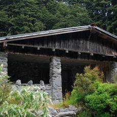
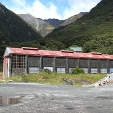
The park's name comes from Craigieburn Station, the sheep run that once covered this land. Two ski areas, Broken River and Craigieburn Valley, have drawn Christchurch skiers since the 1940s; before the ski-field road was built in 1961, materials for the early huts were carried up the Craigieburn Valley Track.
The park entrance is about 110 kilometers from Christchurch along Highway 73, with designated parking areas available. Multiple marked trails run through the park for different skill levels and physical abilities.
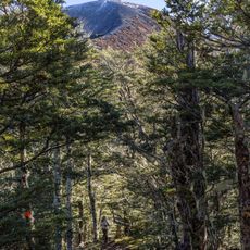
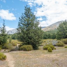
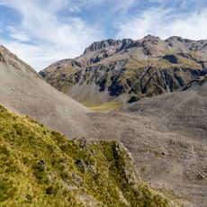
Mountain beech trees with distinctive pointed leaves thrive in the lower elevations, contrasting sharply with what grows higher up. In the alpine zones, specialized plants have adapted to survive in moving shingle and harsh mountain conditions.
The community of curious travelers
AroundUs brings together thousands of curated places, local tips, and hidden gems, enriched daily by 95,496 contributors worldwide.