
Arthur's Pass National Park
Arthur's Pass National Park, National park in South Island, New Zealand.
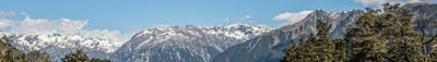
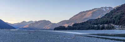
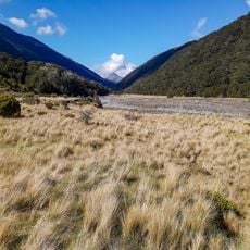
Arthur's Pass National Park is a protected area in the Southern Alps that combines mountains, valleys, and river landscapes with alpine vegetation. The region spans varied elevation terrain and displays the diverse natural environments typical of this mountain range.
The area was established as New Zealand's third national park in 1929, following exploration by researchers like Arthur Dudley Dobson in the 1860s. The name honors Dobson, whose explorations deepened European knowledge of this mountain region.
The area holds significance for Maori as part of Te Araroa, an ancient trading route through the mountains. Visitors can still see traces of these pathways at certain points throughout the park.
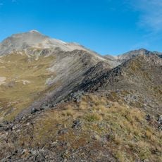
Many walking trails are marked and accessible, ranging from short walks to multi-day treks with varying difficulty levels. Visitors should expect rapidly changing weather and bring suitable gear, as conditions can shift quickly in the mountains.
The Otira Tunnel, completed in 1923, runs invisibly beneath the park and connects the eastern side to the west coast. This underground passage is an engineering feat that remains completely hidden from most visitors.
Location: Westland District
Location: Selwyn District
Inception: July 1929
Operator: Department of Conservation
Phone: +6433189211
Email: arthurspassvc@doc.govt.nz
Website: https://doc.govt.nz/parks-and-recreation/places-to-go/canterbury/places/arthurs-pass-national-park
GPS coordinates: -42.88967,171.72142
Latest update: December 9, 2025 18:44
Mount Cheeseman
31.8 km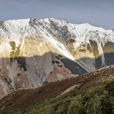
Craigieburn Forest Park
28.3 km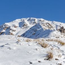
Avalanche Peak
16.2 km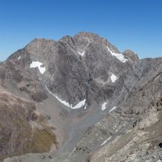
Mount Rolleston
17.2 km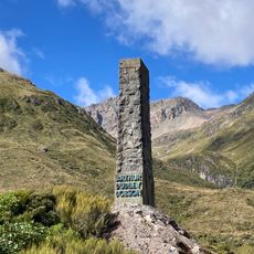
Arthur Dudley Dobson Memorial
13.4 km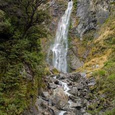
Devils Punchbowl Falls
13.4 km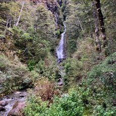
Avalanche Creek Falls
14.3 km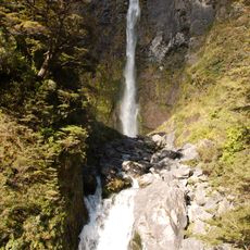
Bridal Veil Falls
13.7 km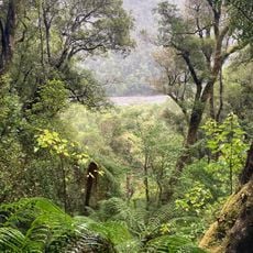
Cockayne Nature Walk
15.7 km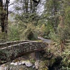
Millennium Walk
14.2 km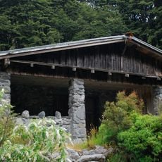
Aniwaniwa
14 km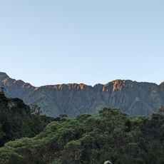
Tara Tama Range
29.5 km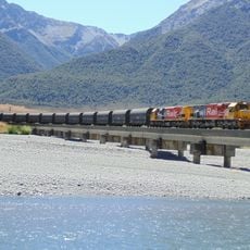
Kiwirail bridge 42
13.6 km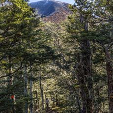
Helicopter Hill Track
27.8 km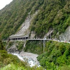
Ōtira Gorge
13.7 km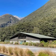
Arthur's Pass Visitor Centre
14.2 km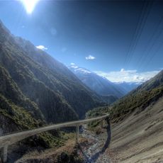
Otira Viaduct
13.5 km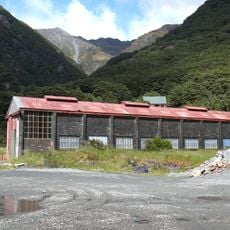
Engine Shed
14.2 km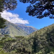
Devils Punchbowl Walking Track
13.8 km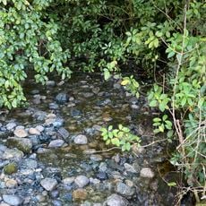
Petrel Creek
36.4 km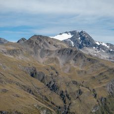
Crow Glacier
17.4 km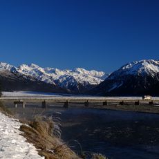
Bealey Bridge
17.7 km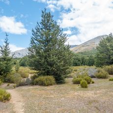
Dracophyllum Flat
30.9 km
Hallelujah Flat
9.9 km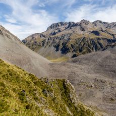
Taruahuna Pass
3.6 km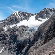
Cronin Glacier
27.5 km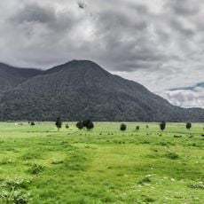
Mount Te Kinga Scenic Reserve
31 kmVisited this place? Tap the stars to rate it and share your experience / photos with the community! Try now! You can cancel it anytime.
Discover hidden gems everywhere you go!
From secret cafés to breathtaking viewpoints, skip the crowded tourist spots and find places that match your style. Our app makes it easy with voice search, smart filtering, route optimization, and insider tips from travelers worldwide. Download now for the complete mobile experience.

A unique approach to discovering new places❞
— Le Figaro
All the places worth exploring❞
— France Info
A tailor-made excursion in just a few clicks❞
— 20 Minutes