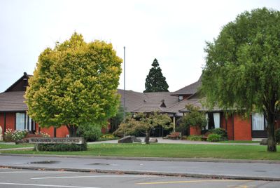
Waimakariri District, Administrative district in Canterbury Region, New Zealand
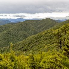
The Waimakariri District is an administrative region in Canterbury's northern sector, stretching from the Pacific Ocean toward the Southern Alps. It blends farming areas, orchards, and urban centers such as Rangiora and Kaiapoi across a consolidated landscape.
The district took its current form in 1989 when two separate administrative bodies merged to create a unified region. This consolidation improved coordination of services and infrastructure across northern Canterbury.
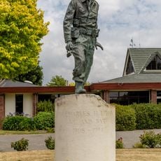
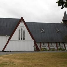
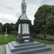
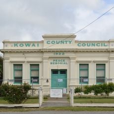
The area holds deep roots in Māori heritage, particularly through the Tuahiwi settlement north of Kaiapoi where the Ngai Tuahuriri community carries on its traditions and practices. You can see this cultural presence reflected in local communities and at heritage sites throughout the region.
The main towns of Rangiora and Kaiapoi sit on State Highway 1 with regular bus and rail connections, making it straightforward to travel between centers. Public transport links the major settlements well throughout the region.
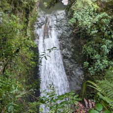
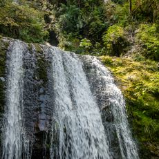
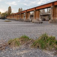
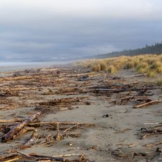
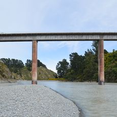
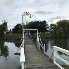
The Waimakariri River forms a natural boundary and is known for its braided river system, offering paddling, fishing, and walking opportunities. The river constantly shifts its channels, creating an ever-changing landscape that feels different with each season.
The community of curious travelers
AroundUs brings together thousands of curated places, local tips, and hidden gems, enriched daily by 60,000 contributors worldwide.