Paparoa National Park, National park on the West Coast of the South Island, New Zealand
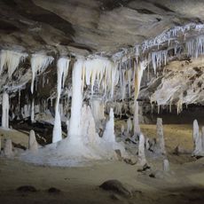
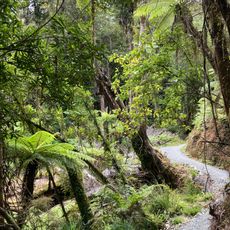
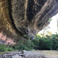
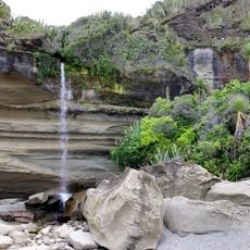
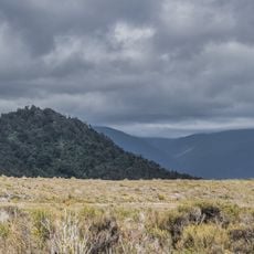
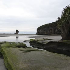
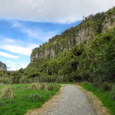
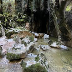
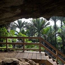
Paparoa National Park spreads across rocky terrain on the west coast with limestone formations, steep coastal cliffs, and dense forests. The area contains an extensive network of caves and underground passages carved out by water erosion.
In 1979 the Native Forest Action Council proposed a 130,000-hectare park, and the lowland karst forests were gazetted as the Pororari Ecological Area the same year. After seven rounds of submissions, 30,327 hectares were gazetted as Paparoa National Park on 23 November 1987. On 15 November 2015 the environment minister Nick Smith announced the addition of 3,580 hectares around the Pike River Mine.
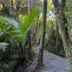
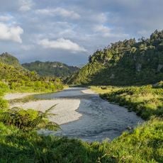
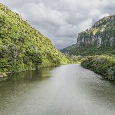
The park's name comes from the Paparoa Range, and the rivers and catchments within it carry Māori names: Buller River is Kawatiri, Grey River is Māwheranui, and Bullock Creek is Punungairo. The Pororari valley is known for its dense stands of nīkau palms, and the Westland petrel, called tāiko, breeds only here.
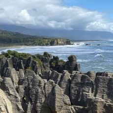
The terrain offers excellent walking trails leading to well-known features like the Pancake Rocks, accessible for various fitness levels. Visitors should prepare for changeable weather, as the coastal region experiences quick shifts in conditions.
The park's largest karst feature is the Barrytown syncline, a limestone fold whose flanks are exposed while softer gravels and mudstones fill the low ground between them. Most known cave systems lie on its western side, where drainage follows horizontal bedding planes.
The community of curious travelers
AroundUs brings together thousands of curated places, local tips, and hidden gems, enriched daily by 93,424 contributors worldwide.