Sugarloaf, Summit in Port Hills, New Zealand.
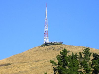
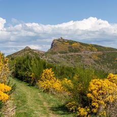
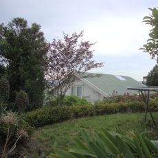
Sugarloaf is a basalt summit in Port Hills near Christchurch that rises 494 meters (1,621 feet) above sea level, commanding views across the city and the surrounding plains. The peak is laced with trails and crowned by a distinctive communication tower that dominates the skyline from the surrounding area.
The summit served as a natural landmark for the region until the New Zealand Broadcasting Corporation built a transmission tower here in 1965. This installation made it the primary broadcasting hub for television signals reaching the Canterbury region.
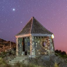
The Māori name Te Heru-o-Kahukura translates to 'the headcomb of Kahukura', referencing a spiritual guardian that tribal leaders once consulted for wisdom. This naming reflects the deep relationship between the peak and indigenous traditions of the region.
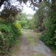
The summit is accessible via Summit Road, which connects to parking areas where marked trails and climbing spots begin. Visitors should wear sturdy footwear and bring wind-resistant clothing, as the exposed terrain means weather can change rapidly.
The steel lattice tower broadcasts both television and FM radio signals for the entire region, making it an invisible yet pervasive part of daily media consumption for everyone below. Few visitors realize that most broadcasts they hear are actually originating from this single structure perched on the peak.
The community of curious travelers
AroundUs brings together thousands of curated places, local tips, and hidden gems, enriched daily by 60,000 contributors worldwide.