
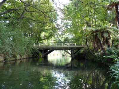
Helmore's Lane Bridge, bridge in Christchurch, New Zealand
Location: Christchurch City
GPS coordinates: -43.52312,172.61641
Latest update: September 23, 2025 16:56
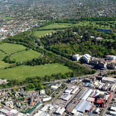
Hagley Park
819 m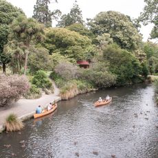
Christchurch Botanic Gardens
898 m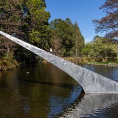
Diminish and Ascend
750 m
Weston House
1 km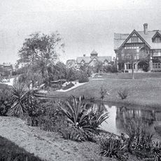
Daresbury
895 m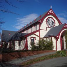
St Andrew's Church
456 m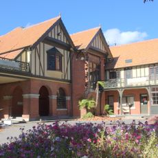
Mona Vale homestead
596 m
All Souls Anglican Church, Christchurch
1 km
First Church of Christ, Scientist
641 m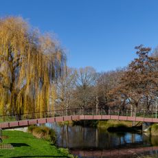
John Burn Bridge
925 m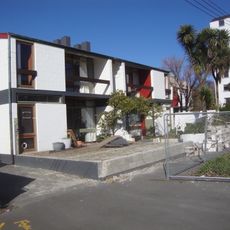
Dorset Street Flats
929 m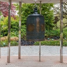
World Peace Bell
1 km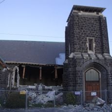
St Mary's Church
1 km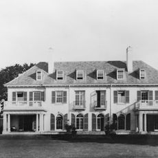
Bishopspark Main Building and Chapel
978 m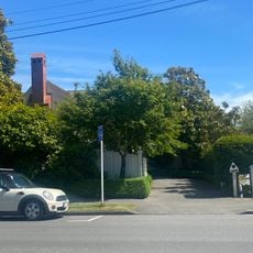
House
375 m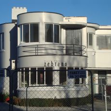
Santa Barbara
970 m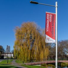
Solidarity Grid
922 m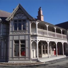
Te Koraha
402 m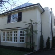
House
866 m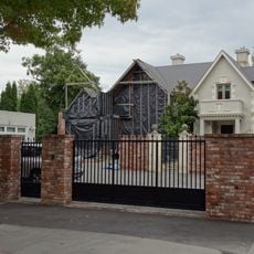
Hagley House
372 m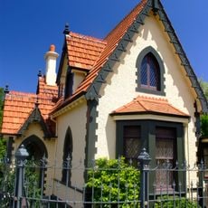
Mona Vale Gatehouse
833 m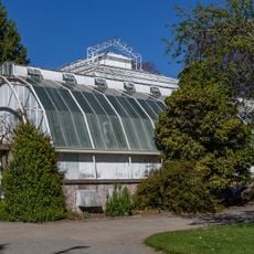
Cuningham House
847 m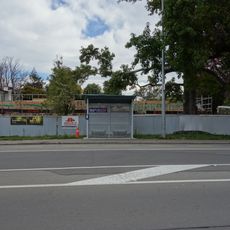
Ballantyne House
155 m
Carlton Butchery
967 m
Maisonettes
924 m
Garrick House
816 m
Christchurch Botanic Gardens visitor centre
903 m
Fleming House, Christchurch
871 mReviews
Visited this place? Tap the stars to rate it and share your experience / photos with the community! Try now! You can cancel it anytime.
Discover hidden gems everywhere you go!
From secret cafés to breathtaking viewpoints, skip the crowded tourist spots and find places that match your style. Our app makes it easy with voice search, smart filtering, route optimization, and insider tips from travelers worldwide. Download now for the complete mobile experience.

A unique approach to discovering new places❞
— Le Figaro
All the places worth exploring❞
— France Info
A tailor-made excursion in just a few clicks❞
— 20 Minutes