
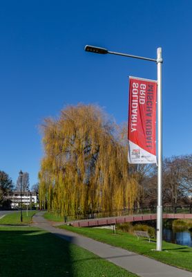
Solidarity Grid, public art in Christchurch, New Zealand
Location: Christchurch City
Inception: 2013
Creator: Mischa Kuball
GPS coordinates: -43.52440,172.62770
Latest update: May 11, 2025 19:37
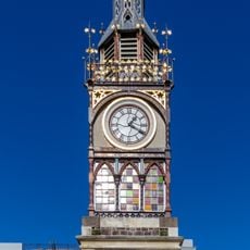
Victoria Clock Tower
268 m
Weston House
137 m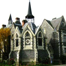
Cranmer Court
336 m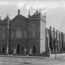
Durham Street Methodist Church
597 m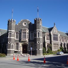
Peterborough Centre
230 m
Church of St Saviour
351 m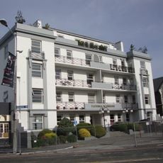
Victoria Mansions
259 m
Eliza's Manor
536 m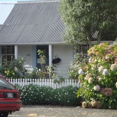
Cottage at 404 Montreal Street
303 m
Te Puna Ahurea Cultural Centre
600 m
First Church of Christ, Scientist
478 m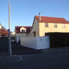
Cottage at 18 Beveridge Street
380 m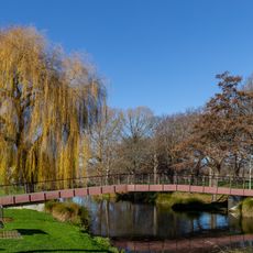
John Burn Bridge
30 m
Dorset Street Flats
179 m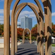
The Arcades Project
593 m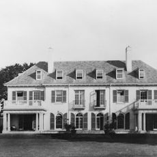
Bishopspark Main Building and Chapel
130 m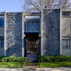
Christ's College Music School, Christchurch
538 m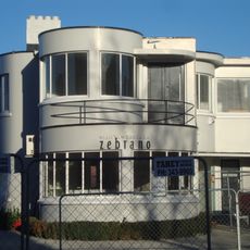
Santa Barbara
307 m
Durham Street Gospel Hall
452 m
House
236 m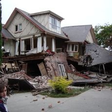
The Deanery
515 m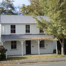
Cottage at 402 Montreal Street
297 m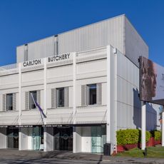
Carlton Butchery
348 m
Maisonettes
354 m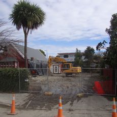
Cranmer Bridge Club
496 m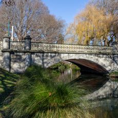
Armagh Street Park Bridge
487 m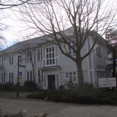
St Margaret's College
366 m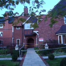
Fleming House, Christchurch
277 mReviews
Visited this place? Tap the stars to rate it and share your experience / photos with the community! Try now! You can cancel it anytime.
Discover hidden gems everywhere you go!
From secret cafés to breathtaking viewpoints, skip the crowded tourist spots and find places that match your style. Our app makes it easy with voice search, smart filtering, route optimization, and insider tips from travelers worldwide. Download now for the complete mobile experience.

A unique approach to discovering new places❞
— Le Figaro
All the places worth exploring❞
— France Info
A tailor-made excursion in just a few clicks❞
— 20 Minutes