Fairhall River, Brook in Marlborough region, New Zealand
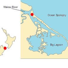
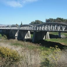
The Fairhall River flows northeast from Blairich Pass through farming areas and joins the Ōpaoa River between Renwick and Blenheim. The waterway passes through both private land and public access points along its route through the valley.
The river took its name in 1847 after William Fairhall, a surveyor's assistant who had an encounter at the site. This naming reflects the early European exploration and mapping efforts in the region.
The river valley supports numerous vineyards that shape how the landscape looks and is farmed today. Visitors walking through the area can see how water access directly influences where people choose to grow wine and other crops.
Water levels change with the seasons, so it helps to check local conditions before visiting. Access points are spread along the course, making it easy to explore different sections of the valley on foot.
The waterway shrinks to nearly nothing during dry periods and swells significantly after rain, which locals have learned to manage for farming. This unpredictable flow has shaped how the region's agricultural practices developed over time.
The community of curious travelers
AroundUs brings together thousands of curated places, local tips, and hidden gems, enriched daily by 60,000 contributors worldwide.