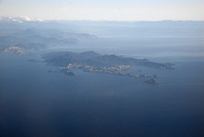
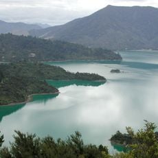
Rangitoto ki te Tonga / D'Urville Island, Island in Marlborough District, New Zealand
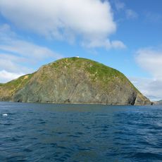
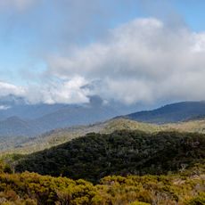
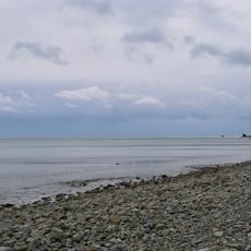
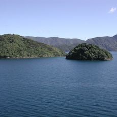
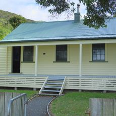
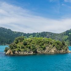
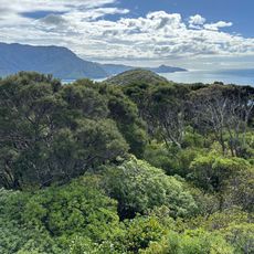
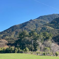
Rangitoto ki te Tonga, also known as D'Urville Island, is an island in the Marlborough District featuring rolling hills, steep coastal cliffs, and multiple beaches along its complex coastline. The landmass covers roughly 150 square kilometers of varied terrain.
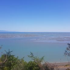
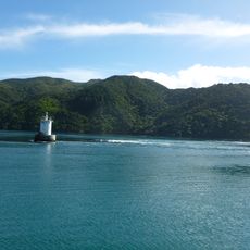
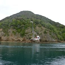
French explorer Jules Dumont d'Urville mapped and named the island in 1827 during a difficult passage through the nearby strait, which now bears his name. The passage remains a notable landmark tied to European exploration of New Zealand.
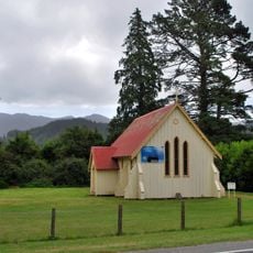
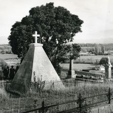
The Māori name Rangitoto ki te Tonga refers to the red sky of the south, reflecting the island's deep connection to the region's indigenous heritage. Local stories and place names throughout the island keep this cultural memory alive today.
You can reach the island by water taxi, small aircraft landing at Moawhitu airstrip, or barge from Kapowai settlement, though availability depends on weather and season. Plan ahead as visitor services are limited and supplies should be arranged in advance.
The waters around the island create some of New Zealand's most powerful tidal flows, reaching speeds of over 15 kilometers per hour through the nearby strait. This natural phenomenon makes the passage both fascinating and demanding for those who experience it.
The community of curious travelers
AroundUs brings together thousands of curated places, local tips, and hidden gems, enriched daily by 60,000 contributors worldwide.