
Kopuāranga School, former school building in Kopuāranga, New Zealand
Location: Masterton District
GPS coordinates: -40.83334,175.65907
Latest update: April 10, 2025 15:13
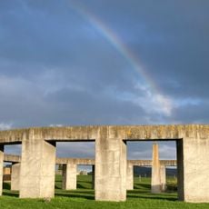
Stonehenge Aotearoa
30.4 km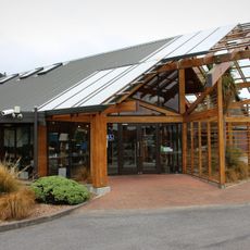
Pūkaha National Wildlife Centre
12.6 km
Tararua Forest Park
22.9 km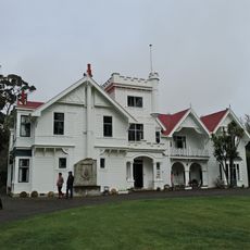
Brancepeth Station
28 km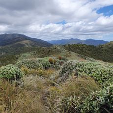
Burn Hut Loop
29.2 km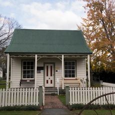
Cobblestone Museum Colonial Cottage
32.9 km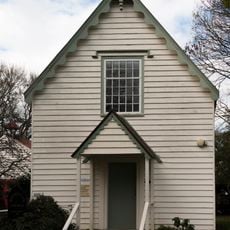
Old Methodist Church
32.9 km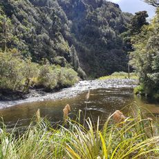
Baber Creek
27 km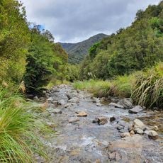
College Creek
26.5 km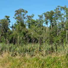
Carter Scenic Reserve
26.1 km
North Anzac Bridge Unnamed Scenic Reserve
14.5 km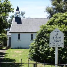
St Aidan's Church
24.2 km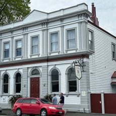
Bank of New Zealand
32 km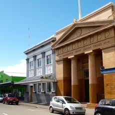
National Bank Building
13.1 km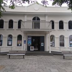
Greytown Library
32.1 km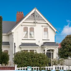
Natusch House
12.7 km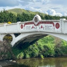
ANZAC Memorial Bridge
14.5 km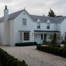
Miss Wyeth's House
31.4 km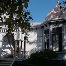
House
13.7 km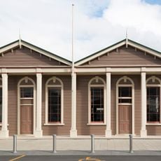
Carterton Library
24 km
House
31.5 km
Homebush
16 km
Borough Council Building
32.2 km
Gallagher House
31.8 km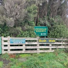
Fensham Reserve
22.1 km
Wakelin's Flourmill
24.3 km
Permanent Investment Society Building
32 kmReviews
Visited this place? Tap the stars to rate it and share your experience / photos with the community! Try now! You can cancel it anytime.
Discover hidden gems everywhere you go!
From secret cafés to breathtaking viewpoints, skip the crowded tourist spots and find places that match your style. Our app makes it easy with voice search, smart filtering, route optimization, and insider tips from travelers worldwide. Download now for the complete mobile experience.

A unique approach to discovering new places❞
— Le Figaro
All the places worth exploring❞
— France Info
A tailor-made excursion in just a few clicks❞
— 20 Minutes