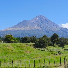
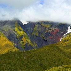
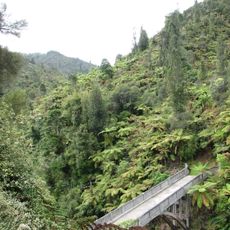
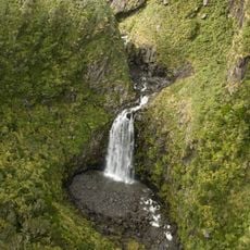
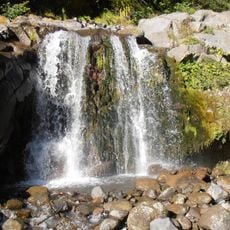
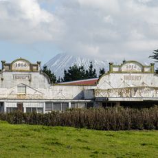
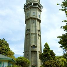
South Taranaki District, territorial authority district in New Zealand
Location: Taranaki Region
Shares border with: New Plymouth District, Whanganui District, Stratford District
GPS coordinates: -39.49300,174.44700
Latest update: March 5, 2025 02:14
Taranaki Maunga
39.6 km
Egmont National Park
41.5 km
Bridge to Nowhere
51.5 km
Lake Rotorangi
5.4 km
Bushy Park / Tarapuruhi
53.4 km
Lake Rotokare
5.6 km
Bertrand Road suspension bridge
52.3 km
Lake Mangamahoe
49.6 km
Tūpare
53.6 km
Bushy Park Homestead
53.6 km
Te Rere o Kapuni
34.7 km
Bells Falls
43.6 km
Curtis Falls
36.4 km
Wendy Statue
18.3 km
Eltham Courthouse
14.9 km
Aratira / The Drop Scene
49.2 km
Aotea Waka Memorial
29.1 km
St George Anglican Church
29.6 km
Ngaere Dairy Factory
17.3 km
Hawera Library Plus
17.6 km
Hawera Water Tower
17.6 km
Butcher's Shop
46.1 km
Whangamomona Hotel
46.1 km
Inglewood Band Rotunda
42.8 km
Victorian Post Box
17.8 km
Shoe Store Building
42.9 km
Town Hall
42.9 km
Fonterra Whareroa Factory
18 kmReviews
Visited this place? Tap the stars to rate it and share your experience / photos with the community! Try now! You can cancel it anytime.
Discover hidden gems everywhere you go!
From secret cafés to breathtaking viewpoints, skip the crowded tourist spots and find places that match your style. Our app makes it easy with voice search, smart filtering, route optimization, and insider tips from travelers worldwide. Download now for the complete mobile experience.
A unique approach to discovering new places❞
— Le Figaro
All the places worth exploring❞
— France Info
A tailor-made excursion in just a few clicks❞
— 20 Minutes